Hazorasp geodata
Hazorasp (Xorazm) is a populated place; located in Uzbekistan in Asia/Samarkand (GMT+5) time zone. With population of 17,643 people, there are 87 cities with bigger population in this country. Compared to other cities in Uzbekistan, 79.9% of cities are located further ↓South; 84.5% of cities are located further →East and 84.5% of cities have higher elevation than Hazorasp. Note1


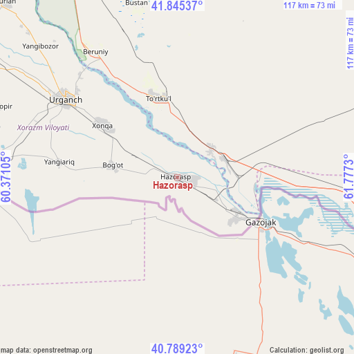
Hazorasp GPS coordinates[2]
41° 19' 9.984" North, 61° 4' 27.012" East
| Map corner | latitude | longitude |
|---|---|---|
| Upper-left | 41.84537°, | 60.37105° |
| Center: | 41.31944°, | 61.07417° |
| Lower-right: | 40.78923°, | 61.7773° |
| Map W x H: | 117.4×117.4 km | = 72.9×72.9mi |
| max Lat: | 43.77877° ⇑20.1% North |
| Hazorasp: | 41.31944° |
| min Lat: | ⇓79.9% South 37.22417° |
| min Long | Hazorasp | max Long |
| 58.84596° | 61.07417° | 72.76177° |
| W 15.5%⇐ | ⇒84.5% E |
Elevation
Elevation of Hazorasp is 111 m = 364 ft, and this is 322.8 m = 1059 ft below average elevation for this country.
| Max E: |
1464 m = 4803 ft | 84.5% |
| Avg. | 433.8 m = 1423 ft | |
| Hazorasp | 111 m = 364 ft | |
Min E: |
50 m = 164 ft | 15.5% |
See also: Uzbekistan elevation on elevation.city.
Geographical zone
Hazorasp is located in North temperate zone (between Tropic of Cancer and the Arctic Circle). Distance of this Northern Tropic circle is 1988.4 km =1235.5 mi to South.| Distance of | km | miles | from Hazorasp |
|---|---|---|---|
| North Pole | 5412.8 | 3363.4 | to North |
| Arctic Circle | 2806.9 | 1744.1 | to North |
| Tropic Cancer | 1988.4 | 1235.5 | to South |
| Equator | 4594.3 | 2854.8 | to South |


Nearby cities:
15 places around Hazorasp: (largest is in red/bold)
• Beruniy
49.2 km =30.6 mi,  327°
327°
• Beruniy Shahri
49.9 km =31 mi, 327°
• Bo‘ston Shahri
59.5 km =37 mi,  349°
349°
• Gurlan
81.4 km =50.6 mi,  315°
315°
• Khiwa
59.6 km =37 mi,  276°
276°
• Khŭjayli
179.8 km =111.7 mi,  311°
311°
• Manghit
122.2 km =75.9 mi, 316°
• Mang‘it Shahri
122.5 km =76.1 mi, 316°
• Novyy Turtkul’
26.1 km =16.2 mi, 349°
• Nukus
174.8 km =108.6 mi, 316°
• Qŭshkŭpir
65.3 km =40.6 mi,  291°
291°
• Showot
74.4 km =46.2 mi,  300°
300°
• To‘rtko‘l Shahri
27.5 km =17.1 mi, 347°
• Urganch
44.8 km =27.8 mi, 304°
• Xo‘jayli Shahri
181.3 km =112.7 mi, 311°
Sources, notices
• [Note1] Compared only with cities in Uzbekistan existing in our database
• [Src1] Map data: © OpenStreetMap contributors (CC-BY-SA)
• [Src2] Other city data from geonames.org with taken over terms of usage.
• [Src3] Geographical zone / Annual Mean Temperature by Robert A. Rohde @ Wikipedia
