Caripe geodata
Caripe (Monagas) is a seat of a second-order administrative division; located in Venezuela in America/Caracas (GMT-4) time zone. In our database, there are 108 cities with bigger population. Compared to other cities in Venezuela, 65.6% of cities are located further ↓South; 92.6% of cities are located further ←West and 87.3% of cities have lower elevation than Caripe. Note1


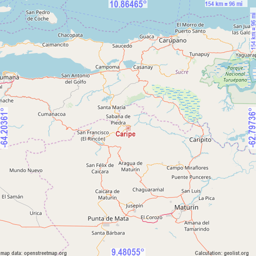
Caripe GPS coordinates[2]
10° 10' 24.06" North, 63° 30' 1.728" West
| Map corner | latitude | longitude |
|---|---|---|
| Upper-left | 10.86465°, | -64.20361° |
| Center: | 10.17335°, | -63.50048° |
| Lower-right: | 9.48055°, | -62.79736° |
| Map W x H: | 153.9×153.9 km | = 95.6×95.6mi |
| max Lat: | 11.94788° ⇑34.4% North |
| Caripe: | 10.17335° |
| min Lat: | ⇓65.6% South 1.92027° |
| min Long | Caripe | max Long |
| -72.55212° | -63.50048° | -60.99778° |
| W 92.6%⇐ | ⇒7.4% E |
Elevation
Elevation of Caripe is 943 m = 3094 ft, and this is 562.4 m = 1845 ft above average elevation for this country.
| Max E: |
2986 m = 9797 ft | 12.7% |
| Caripe | 943 m 3094 ft | |
| Avg. | 380.6 m = 1249 ft | |
Min E: |
-4 m = -13 ft | 87.3% |
See also: Venezuela elevation on elevation.city.
Geographical zone
Caripe is located in North Torrid zone (between Equator and Tropic of Cancer). Distance of Equator is 1131.2 km =702.9 mi to South.| Distance of | km | miles | from Caripe |
|---|---|---|---|
| North Pole | 8875.9 | 5515.2 | to North |
| Arctic Circle | 6270 | 3896 | to North |
| Tropic Cancer | 1474.7 | 916.3 | to North |
| Equator | 1131.2 | 702.9 | to South |


Nearby cities:
15 places around Caripe: (largest is in red/bold)
• Aragua
22.6 km =14 mi,  176°
176°
• Caicara
41.4 km =25.7 mi,  197°
197°
• Cariaco
36.4 km =22.6 mi,  350°
350°
• Caripito
44.4 km =27.6 mi,  98°
98°
• Carúpano
61 km =37.9 mi,  26°
26°
• Casanay
37.9 km =23.5 mi,  13°
13°
• Cumanacoa
46.6 km =29 mi,  280°
280°
• El Pilar
56.3 km =35 mi,  42°
42°
• Marigüitar
53.5 km =33.2 mi,  304°
304°
• Maturín
58.9 km =36.6 mi,  143°
143°
• Punta de Mata
54.9 km =34.1 mi,  192°
192°
• Quiriquire
37.5 km =23.3 mi,  125°
125°
• San Antonio
25.3 km =15.7 mi,  256°
256°
• San Antonio del Golfo
43.4 km =27 mi,  313°
313°
• San José de Aerocuar
51 km =31.7 mi,  21°
21°
Sources, notices
• [Note1] Compared only with cities in Venezuela existing in our database
• [Src1] Map data: © OpenStreetMap contributors (CC-BY-SA)
• [Src2] Other city data from geonames.org with taken over terms of usage.
• [Src3] Geographical zone / Annual Mean Temperature by Robert A. Rohde @ Wikipedia
