Cần Đước geodata
Cần Đước (Long An) is a seat of a second-order administrative division; located in Vietnam in Asia/Ho_Chi_Minh (GMT+7) time zone. In our database, there are 94 cities with bigger population. Compared to other cities in Vietnam, 83.8% of cities are located further ↑North; 65.6% of cities are located further ←West and 98% of cities have higher elevation than Cần Đước. Note1


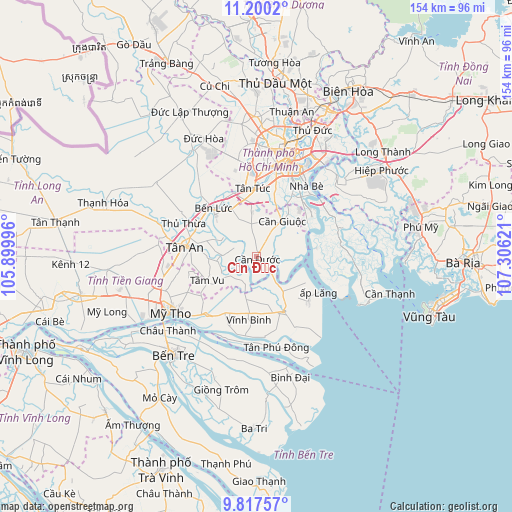
Cần Đước GPS coordinates[2]
10° 30' 34.776" North, 106° 36' 11.088" East
| Map corner | latitude | longitude |
|---|---|---|
| Upper-left | 11.2002°, | 105.89996° |
| Center: | 10.50966°, | 106.60308° |
| Lower-right: | 9.81757°, | 107.30621° |
| Map W x H: | 153.7×153.7 km | = 95.5×95.5mi |
| max Lat: | 23.27841° ⇑83.8% North |
| Cần Đước: | 10.50966° |
| min Lat: | ⇓16.2% South 8.65724° |
| min Long | Cần Đước | max Long |
| 102.4579° | 106.60308° | 112.72541° |
| W 65.6%⇐ | ⇒34.4% E |
Elevation
Elevation of Cần Đước is 2 m = 7 ft, and this is 127.5 m = 418 ft below average elevation for this country.
| Max E: |
1592 m = 5223 ft | 98% |
| Avg. | 129.5 m = 425 ft | |
| Cần Đước | 2 m = 7 ft | |
Min E: |
-1 m = -3 ft | 2% |
See also: Vietnam elevation on elevation.city.
Geographical zone
Cần Đước is located in North Torrid zone (between Equator and Tropic of Cancer). Distance of Equator is 1168.6 km =726.1 mi to South.| Distance of | km | miles | from Cần Đước |
|---|---|---|---|
| North Pole | 8838.5 | 5492 | to North |
| Arctic Circle | 6232.6 | 3872.8 | to North |
| Tropic Cancer | 1437.4 | 893.2 | to North |
| Equator | 1168.6 | 726.1 | to South |


Nearby cities:
15 places around Cần Đước: (largest is in red/bold)
• Chợ Gạo
23.4 km =14.5 mi,  220°
220°
• Cần Giuộc
13.3 km =8.3 mi,  34°
34°
• Nhà Bè
25.6 km =15.9 mi,  35°
35°
• Quận Bảy
26.8 km =16.7 mi, 32°
• Quận Mười Một
28.6 km =17.8 mi,  8°
8°
• Quận Năm
28.2 km =17.5 mi, 14°
• Quận Sáu
26.8 km =16.7 mi, 10°
• Thủ Thừa
24.3 km =15.1 mi,  295°
295°
• Tân An
20.9 km =13 mi,  278°
278°
• Tân Hiệp
29.1 km =18.1 mi,  256°
256°
• Tân Hòa
24.3 km =15.1 mi,  150°
150°
• Tân Trụ
10.4 km =6.5 mi,  271°
271°
• Tân Túc
20.7 km =12.9 mi,  356°
356°
• Tầm Vu
16.6 km =10.3 mi,  242°
242°
• Vĩnh Bình
18.5 km =11.5 mi,  187°
187°
Sources, notices
• [Note1] Compared only with cities in Vietnam existing in our database
• [Src1] Map data: © OpenStreetMap contributors (CC-BY-SA)
• [Src2] Other city data from geonames.org with taken over terms of usage.
• [Src3] Geographical zone / Annual Mean Temperature by Robert A. Rohde @ Wikipedia
