Safotu geodata
Safotu (Gagaifomauga) is a seat of a first-order administrative division; located in Samoa in Pacific/Apia (GMT+13) time zone. With population of 1,207 people, there are 16 cities with bigger population in this country. Compared to other cities in Samoa, 98.4% of cities are located further ↓South; 86.9% of cities are located further →East and 65.6% of cities have lower elevation than Safotu. Note1


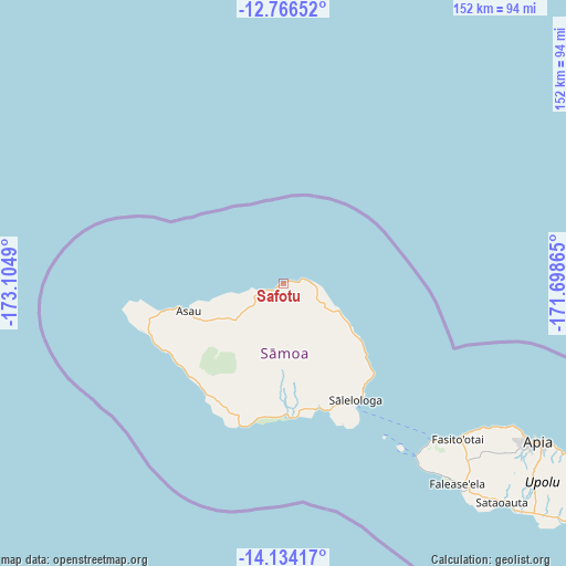
Safotu GPS coordinates[2]
13° 27' 4.752" South, 172° 24' 6.372" West
| Map corner | latitude | longitude |
|---|---|---|
| Upper-left | -12.76652°, | -173.1049° |
| Center: | -13.45132°, | -172.40177° |
| Lower-right: | -14.13417°, | -171.69865° |
| Map W x H: | 152.1×152.1 km | = 94.5×94.5mi |
| max Lat: | -13.44894° ⇑1.6% North |
| Safotu: | -13.45132° |
| min Lat: | ⇓98.4% South -14.04454° |
| min Long | Safotu | max Long |
| -172.69436° | -172.40177° | -171.42559° |
| W 13.1%⇐ | ⇒86.9% E |
Elevation
Elevation of Safotu is 15 m = 49 ft, and this is 8.9 m = 29 ft below average elevation for this country.
| Max E: |
252 m = 827 ft | 34.4% |
| Avg. | 23.9 m = 78 ft | |
| Safotu | 15 m = 49 ft | |
Min E: |
7 m = 23 ft | 65.6% |
See also: Samoa elevation on elevation.city.
Geographical zone
Safotu is located in South Torrid zone (between Equator and Tropic of Capricorn). Distance of this Southern Tropic circle is 1110.3 km =689.9 mi to South.| Distance of | km | miles | from Safotu |
|---|---|---|---|
| Equator | 1495.6 | 929.3 | to North |
| Tropic Capricorn | 1110.3 | 689.9 | to South |
| Antarctic Circle | 5905.5 | 3669.5 | to South |
| South Pole | 8511.4 | 5288.7 | to South |


Nearby cities:
15 places around Safotu: (largest is in red/bold)
• Asau
26.6 km =16.5 mi,  253°
253°
• Auala
28.1 km =17.5 mi, 254°
• Lano
28.7 km =17.8 mi,  130°
130°
• Patamea
13.1 km =8.1 mi, 128°
• Safotulafai
34.4 km =21.4 mi,  135°
135°
• Sagone
35.2 km =21.9 mi,  221°
221°
• Saipipi
29.6 km =18.4 mi, 131°
• Sale’aula
7.2 km =4.5 mi,  87°
87°
• Samalaeulu
12.3 km =7.6 mi,  116°
116°
• Sapapali’i
34.7 km =21.6 mi, 139°
• Sasina
5.5 km =3.4 mi, 248°
• Sataua
32.5 km =20.2 mi,  256°
256°
• Sa’asa’ai
30.5 km =19 mi, 132°
• Sili
34 km =21.1 mi,  175°
175°
• Vaisala
30.4 km =18.9 mi, 256°
Sources, notices
• [Note1] Compared only with cities in Samoa existing in our database
• [Src1] Map data: © OpenStreetMap contributors (CC-BY-SA)
• [Src2] Other city data from geonames.org with taken over terms of usage.
• [Src3] Geographical zone / Annual Mean Temperature by Robert A. Rohde @ Wikipedia
