Kthella e Epërme geodata
Kthella e Epërme (Lezhë) is a seat of a third-order administrative division; located in Albania in Europe/Tirane (GMT+2) time zone. In our database, there are 71 cities with bigger population. Compared to other cities in Albania, 83.1% of cities are located further ↓South; 57.5% of cities are located further ←West and 71.8% of cities have lower elevation than Kthella e Epërme. Note1


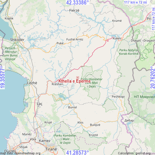
Kthella e Epërme GPS coordinates[2]
41° 48' 42.984" North, 20° 3' 32.004" East
| Map corner | latitude | longitude |
|---|---|---|
| Upper-left | 42.33386°, | 19.35577° |
| Center: | 41.81194°, | 20.05889° |
| Lower-right: | 41.28573°, | 20.76202° |
| Map W x H: | 116.5×116.5 km | = 72.4×72.4mi |
| max Lat: | 42.45139° ⇑16.9% North |
| Kthella e Epërme: | 41.81194° |
| min Lat: | ⇓83.1% South 39.65889° |
| min Long | Kthella e Epër | max Long |
| 19.40556° | 20.05889° | 20.99° |
| W 57.5%⇐ | ⇒42.5% E |
Elevation
Elevation of Kthella e Epërme is 600 m = 1969 ft, and this is 225.4 m = 740 ft above average elevation for this country.
| Max E: |
1352 m = 4436 ft | 28.2% |
| Kthella e Epërme | 600 m 1969 ft | |
| Avg. | 374.6 m = 1229 ft | |
Min E: |
-2 m = -7 ft | 71.8% |
See also: Albania elevation on elevation.city.
Geographical zone
Kthella e Epërme is located in North temperate zone (between Tropic of Cancer and the Arctic Circle). Distance of this Northern Tropic circle is 2043.1 km =1269.5 mi to South.| Distance of | km | miles | from Kthella e Epërme |
|---|---|---|---|
| North Pole | 5358 | 3329.3 | to North |
| Arctic Circle | 2752.1 | 1710.1 | to North |
| Tropic Cancer | 2043.1 | 1269.5 | to South |
| Equator | 4649.1 | 2888.8 | to South |


Nearby cities:
15 places around Kthella e Epërme: (largest is in red/bold)
• Arrën
22.1 km =13.7 mi,  59°
59°
• Baz
22.7 km =14.1 mi,  208°
208°
• Blinisht
7.4 km =4.6 mi,  318°
318°
• Derjan
15.4 km =9.6 mi,  180°
180°
• Fushë-Lurë
14.4 km =8.9 mi,  92°
92°
• Gjegjan
14.5 km =9 mi,  344°
344°
• Kaçinar
16.1 km =10 mi,  304°
304°
• Kurbnesh
4.1 km =2.5 mi,  150°
150°
• Lis
20.6 km =12.8 mi,  173°
173°
• Macukull
14.4 km =8.9 mi,  162°
162°
• Orosh
3.1 km =1.9 mi,  40°
40°
• Rrëshen
16 km =9.9 mi,  251°
251°
• Rukaj
14.6 km =9.1 mi,  193°
193°
• Shëngjin
16.6 km =10.3 mi, 40°
• Ulëz
19.9 km =12.4 mi,  223°
223°
Sources, notices
• [Note1] Compared only with cities in Albania existing in our database
• [Src1] Map data: © OpenStreetMap contributors (CC-BY-SA)
• [Src2] Other city data from geonames.org with taken over terms of usage.
• [Src3] Geographical zone / Annual Mean Temperature by Robert A. Rohde @ Wikipedia
