Villa Escolar geodata
Villa Escolar (Formosa) is a populated place; located in Argentina in America/Argentina/Cordoba (GMT-3) time zone. With population of 1,261 people, there are 730 cities with bigger population in this country. Compared to other cities in Argentina, 89.3% of cities are located further ↓South; 81% of cities are located further ←West and 74.9% of cities have higher elevation than Villa Escolar. Note1


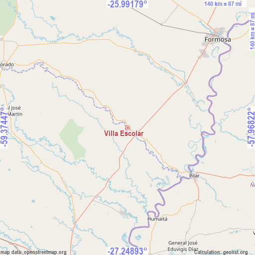
Villa Escolar GPS coordinates[2]
26° 37' 19.524" South, 58° 40' 16.824" West
| Map corner | latitude | longitude |
|---|---|---|
| Upper-left | -25.99179°, | -59.37447° |
| Center: | -26.62209°, | -58.67134° |
| Lower-right: | -27.24893°, | -57.96822° |
| Map W x H: | 139.8×139.8 km | = 86.9×86.9mi |
| max Lat: | -21.94467° ⇑10.7% North |
| Villa Escolar: | -26.62209° |
| min Lat: | ⇓89.3% South -54.81084° |
| min Long | Villa Escolar | max Long |
| -72.88605° | -58.67134° | -53.64581° |
| W 81%⇐ | ⇒19% E |
Elevation
Elevation of Villa Escolar is 69 m = 226 ft, and this is 280.3 m = 920 ft below average elevation for this country.
| Max E: |
4040 m = 13255 ft | 74.9% |
| Avg. | 349.3 m = 1146 ft | |
| Villa Escolar | 69 m = 226 ft | |
Min E: |
-2 m = -7 ft | 25.1% |
See also: Argentina elevation on elevation.city.
Geographical zone
Villa Escolar is located in South temperate zone (between Tropic of Capricorn and the Antarctic Circle). Distance of this Southern Tropic circle is 354.2 km =220.1 mi to North.| Distance of | km | miles | from Villa Escolar |
|---|---|---|---|
| Equator | 2960.1 | 1839.3 | to North |
| Tropic Capricorn | 354.2 | 220.1 | to North |
| Antarctic Circle | 4441.1 | 2759.6 | to South |
| South Pole | 7047 | 4378.8 | to South |


Nearby cities:
15 places around Villa Escolar: (largest is in red/bold)
• Colonia Benítez
83.4 km =51.8 mi,  199°
199°
• El Colorado
78.1 km =48.5 mi,  296°
296°
• Formosa
69.5 km =43.2 mi,  45°
45°
• General José de San Martín
67.3 km =41.8 mi,  278°
278°
• General Vedia
34.7 km =21.6 mi,  178°
178°
• Herradura
38.8 km =24.1 mi,  67°
67°
• Itatí
83.6 km =51.9 mi,  149°
149°
• La Eduvigis
45.5 km =28.3 mi,  238°
238°
• La Leonesa
46.3 km =28.8 mi, 183°
• Margarita Belén
77.1 km =47.9 mi, 202°
• Pampa Almirón
45.7 km =28.4 mi,  259°
259°
• Paso de la Patria
77.9 km =48.4 mi,  172°
172°
• Puerto Bermejo
37.6 km =23.4 mi, 154°
• San Cosme
84.8 km =52.7 mi, 169°
• San Francisco de Laishí
42.4 km =26.3 mi,  5°
5°
Sources, notices
• [Note1] Compared only with cities in Argentina existing in our database
• [Src1] Map data: © OpenStreetMap contributors (CC-BY-SA)
• [Src2] Other city data from geonames.org with taken over terms of usage.
• [Src3] Geographical zone / Annual Mean Temperature by Robert A. Rohde @ Wikipedia
