Herradura geodata
Herradura (Formosa) is a populated place; located in Argentina in America/Argentina/Cordoba (GMT-3) time zone. With population of 2,333 people, there are 604 cities with bigger population in this country. Compared to other cities in Argentina, 90.6% of cities are located further ↓South; 86.7% of cities are located further ←West and 78.2% of cities have higher elevation than Herradura. Note1


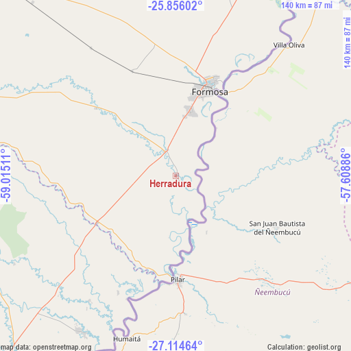
Herradura GPS coordinates[2]
26° 29' 13.38" South, 58° 18' 43.128" West
| Map corner | latitude | longitude |
|---|---|---|
| Upper-left | -25.85602°, | -59.01511° |
| Center: | -26.48705°, | -58.31198° |
| Lower-right: | -27.11464°, | -57.60886° |
| Map W x H: | 139.9×139.9 km | = 86.9×86.9mi |
| max Lat: | -21.94467° ⇑9.4% North |
| Herradura: | -26.48705° |
| min Lat: | ⇓90.6% South -54.81084° |
| min Long | Herradura | max Long |
| -72.88605° | -58.31198° | -53.64581° |
| W 86.7%⇐ | ⇒13.3% E |
Elevation
Elevation of Herradura is 64 m = 210 ft, and this is 285.3 m = 936 ft below average elevation for this country.
| Max E: |
4040 m = 13255 ft | 78.2% |
| Avg. | 349.3 m = 1146 ft | |
| Herradura | 64 m = 210 ft | |
Min E: |
-2 m = -7 ft | 21.8% |
See also: Argentina elevation on elevation.city.
Geographical zone
Herradura is located in South temperate zone (between Tropic of Capricorn and the Antarctic Circle). Distance of this Southern Tropic circle is 339.2 km =210.8 mi to North.| Distance of | km | miles | from Herradura |
|---|---|---|---|
| Equator | 2945.1 | 1830 | to North |
| Tropic Capricorn | 339.2 | 210.8 | to North |
| Antarctic Circle | 4456.1 | 2768.9 | to South |
| South Pole | 7062 | 4388.1 | to South |


Nearby cities:
15 places around Herradura: (largest is in red/bold)
• El Colorado
107.5 km =66.8 mi,  280°
280°
• Formosa
36.3 km =22.6 mi,  22°
22°
• General José de San Martín
102.6 km =63.8 mi,  266°
266°
• General Vedia
60.5 km =37.6 mi,  214°
214°
• Itatí
87.4 km =54.3 mi,  175°
175°
• La Eduvigis
84 km =52.2 mi,  242°
242°
• La Leonesa
72.5 km =45 mi, 212°
• Margarita Belén
108.2 km =67.2 mi,  217°
217°
• Pampa Almirón
84.1 km =52.3 mi,  253°
253°
• Paso de la Patria
95.8 km =59.5 mi,  195°
195°
• Puerto Bermejo
52.7 km =32.7 mi, 201°
• Ramada Paso
97.4 km =60.5 mi, 179°
• San Cosme
100.3 km =62.3 mi,  191°
191°
• San Francisco de Laishí
41.8 km =26 mi,  310°
310°
• Villa Escolar
38.8 km =24.1 mi, 247°
Sources, notices
• [Note1] Compared only with cities in Argentina existing in our database
• [Src1] Map data: © OpenStreetMap contributors (CC-BY-SA)
• [Src2] Other city data from geonames.org with taken over terms of usage.
• [Src3] Geographical zone / Annual Mean Temperature by Robert A. Rohde @ Wikipedia
