Seguí geodata
Seguí (Entre Rios) is a populated place; located in Argentina in America/Argentina/Cordoba (GMT-3) time zone. With population of 3,646 people, there are 513 cities with bigger population in this country. Compared to other cities in Argentina, 51.3% of cities are located further ↑North; 67.1% of cities are located further ←West and 62% of cities have higher elevation than Seguí. Note1


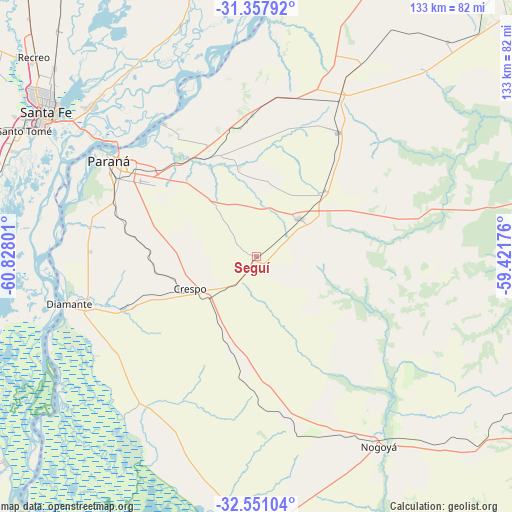
Seguí GPS coordinates[2]
31° 57' 23.112" South, 60° 7' 29.568" West
| Map corner | latitude | longitude |
|---|---|---|
| Upper-left | -31.35792°, | -60.82801° |
| Center: | -31.95642°, | -60.12488° |
| Lower-right: | -32.55104°, | -59.42176° |
| Map W x H: | 132.7×132.7 km | = 82.5×82.5mi |
| max Lat: | -21.94467° ⇑51.3% North |
| Seguí: | -31.95642° |
| min Lat: | ⇓48.7% South -54.81084° |
| min Long | Seguí | max Long |
| -72.88605° | -60.12488° | -53.64581° |
| W 67.1%⇐ | ⇒32.9% E |
Elevation
Elevation of Seguí is 102 m = 335 ft, and this is 247.3 m = 811 ft below average elevation for this country.
| Max E: |
4040 m = 13255 ft | 62% |
| Avg. | 349.3 m = 1146 ft | |
| Seguí | 102 m = 335 ft | |
Min E: |
-2 m = -7 ft | 38% |
See also: Argentina elevation on elevation.city.
Geographical zone
Seguí is located in South temperate zone (between Tropic of Capricorn and the Antarctic Circle). Distance of this Southern Tropic circle is 947.3 km =588.6 mi to North.| Distance of | km | miles | from Seguí |
|---|---|---|---|
| Equator | 3553.2 | 2207.9 | to North |
| Tropic Capricorn | 947.3 | 588.6 | to North |
| Antarctic Circle | 3848 | 2391 | to South |
| South Pole | 6453.8 | 4010.2 | to South |


Nearby cities:
15 places around Seguí: (largest is in red/bold)
• Aranguren
32 km =19.9 mi,  186°
186°
• Crespo
18.9 km =11.7 mi,  244°
244°
• Diamante
49.9 km =31 mi,  255°
255°
• General Ramírez
25.4 km =15.8 mi,  196°
196°
• Hasenkamp
56.5 km =35.1 mi,  28°
28°
• Hernández
43.5 km =27 mi,  167°
167°
• Nogoyá
58 km =36 mi,  147°
147°
• Oro Verde
39.8 km =24.7 mi,  291°
291°
• Paraná
45.6 km =28.3 mi,  303°
303°
• San Benito
35.5 km =22.1 mi, 302°
• Santa Fe
64.9 km =40.3 mi, 301°
• Tabossi
24.9 km =15.5 mi,  46°
46°
• Viale
14.8 km =9.2 mi, 48°
• Villa María Grande
38.6 km =24 mi, 33°
• Villa Urquiza
41.7 km =25.9 mi,  325°
325°
Sources, notices
• [Note1] Compared only with cities in Argentina existing in our database
• [Src1] Map data: © OpenStreetMap contributors (CC-BY-SA)
• [Src2] Other city data from geonames.org with taken over terms of usage.
• [Src3] Geographical zone / Annual Mean Temperature by Robert A. Rohde @ Wikipedia
