San Carlos geodata
San Carlos (Salta) is a seat of a second-order administrative division; located in Argentina in America/Argentina/Salta (GMT-3) time zone. In our database, there are 785 cities with bigger population. Compared to other cities in Argentina, 92.8% of cities are located further ↓South; 81.5% of cities are located further →East and 97.5% of cities have lower elevation than San Carlos. Note1


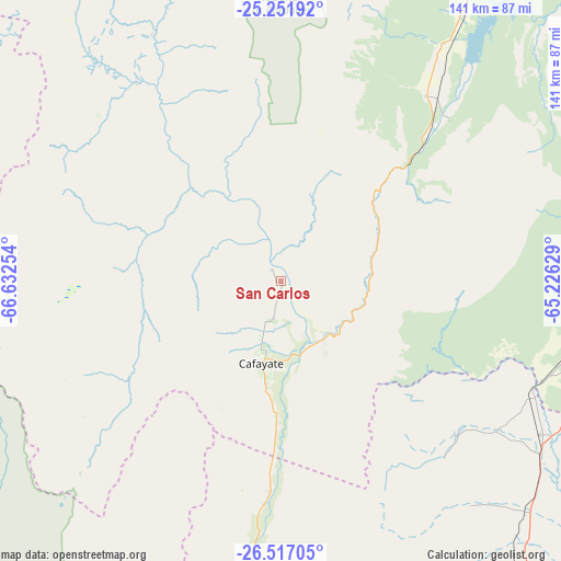
San Carlos GPS coordinates[2]
25° 53' 10.248" South, 65° 55' 45.876" West
| Map corner | latitude | longitude |
|---|---|---|
| Upper-left | -25.25192°, | -66.63254° |
| Center: | -25.88618°, | -65.92941° |
| Lower-right: | -26.51705°, | -65.22629° |
| Map W x H: | 140.7×140.7 km | = 87.4×87.4mi |
| max Lat: | -21.94467° ⇑7.2% North |
| San Carlos: | -25.88618° |
| min Lat: | ⇓92.8% South -54.81084° |
| min Long | San Carlos | max Long |
| -72.88605° | -65.92941° | -53.64581° |
| W 18.5%⇐ | ⇒81.5% E |
Elevation
Elevation of San Carlos is 1630 m = 5348 ft, and this is 1280.7 m = 4202 ft above average elevation for this country.
| Max E: |
4040 m = 13255 ft | 2.5% |
| San Carlos | 1630 m 5348 ft | |
| Avg. | 349.3 m = 1146 ft | |
Min E: |
-2 m = -7 ft | 97.5% |
See also: Argentina elevation on elevation.city.
Geographical zone
San Carlos is located in South temperate zone (between Tropic of Capricorn and the Antarctic Circle). Distance of this Southern Tropic circle is 272.4 km =169.3 mi to North.| Distance of | km | miles | from San Carlos |
|---|---|---|---|
| Equator | 2878.3 | 1788.5 | to North |
| Tropic Capricorn | 272.4 | 169.3 | to North |
| Antarctic Circle | 4522.9 | 2810.4 | to South |
| South Pole | 7128.8 | 4429.6 | to South |


Nearby cities:
15 places around San Carlos: (largest is in red/bold)
• Cachí
88.4 km =54.9 mi,  344°
344°
• Cafayate
21.3 km =13.2 mi,  193°
193°
• Campo Quijano
112.5 km =69.9 mi,  15°
15°
• Chicoana
95.5 km =59.3 mi, 24°
• El Carril
100.4 km =62.4 mi,  25°
25°
• Guachipas
58.5 km =36.4 mi,  45°
45°
• La Candelaria
91.9 km =57.1 mi,  106°
106°
• La Viña
59.2 km =36.8 mi,  37°
37°
• Metán
105 km =65.2 mi,  65°
65°
• Molinos
61.7 km =38.3 mi,  323°
323°
• Rosario de Lerma
106.5 km =66.2 mi, 19°
• Rosario de la Frontera
96.4 km =59.9 mi,  84°
84°
• Santa María
90.7 km =56.4 mi, 187°
• Tafí del Valle
109.7 km =68.2 mi,  168°
168°
• Trancas
75.3 km =46.8 mi,  120°
120°
Sources, notices
• [Note1] Compared only with cities in Argentina existing in our database
• [Src1] Map data: © OpenStreetMap contributors (CC-BY-SA)
• [Src2] Other city data from geonames.org with taken over terms of usage.
• [Src3] Geographical zone / Annual Mean Temperature by Robert A. Rohde @ Wikipedia
