Canals geodata
Canals (Cordoba) is a populated place; located in Argentina in America/Argentina/Cordoba (GMT-3) time zone. With population of 8,343 people, there are 328 cities with bigger population in this country. Compared to other cities in Argentina, 66.7% of cities are located further ↑North; 51.4% of cities are located further →East and 54% of cities have higher elevation than Canals. Note1


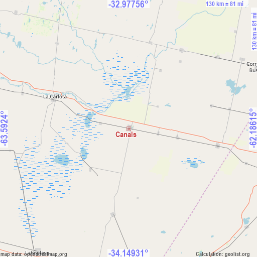
Canals GPS coordinates[2]
33° 33' 55.512" South, 62° 53' 21.372" West
| Map corner | latitude | longitude |
|---|---|---|
| Upper-left | -32.97756°, | -63.5924° |
| Center: | -33.56542°, | -62.88927° |
| Lower-right: | -34.14931°, | -62.18615° |
| Map W x H: | 130.3×130.3 km | = 81×81mi |
| max Lat: | -21.94467° ⇑66.7% North |
| Canals: | -33.56542° |
| min Lat: | ⇓33.3% South -54.81084° |
| min Long | Canals | max Long |
| -72.88605° | -62.88927° | -53.64581° |
| W 48.6%⇐ | ⇒51.4% E |
Elevation
Elevation of Canals is 127 m = 417 ft, and this is 222.3 m = 729 ft below average elevation for this country.
| Max E: |
4040 m = 13255 ft | 54% |
| Avg. | 349.3 m = 1146 ft | |
| Canals | 127 m = 417 ft | |
Min E: |
-2 m = -7 ft | 46% |
See also: Argentina elevation on elevation.city.
Geographical zone
Canals is located in South temperate zone (between Tropic of Capricorn and the Antarctic Circle). Distance of this Southern Tropic circle is 1126.2 km =699.8 mi to North.| Distance of | km | miles | from Canals |
|---|---|---|---|
| Equator | 3732.1 | 2319 | to North |
| Tropic Capricorn | 1126.2 | 699.8 | to North |
| Antarctic Circle | 3669 | 2279.8 | to South |
| South Pole | 6274.9 | 3899 | to South |


Nearby cities:
15 places around Canals: (largest is in red/bold)
• Alejo Ledesma
25.1 km =15.6 mi,  100°
100°
• Arias
45.9 km =28.5 mi, 100°
• Cavanagh
52 km =32.3 mi,  78°
78°
• Chazón
65 km =40.4 mi,  326°
326°
• Guatimozín
43.4 km =27 mi,  74°
74°
• Huanchillas
70.1 km =43.6 mi,  260°
260°
• Isla Verde
57.8 km =35.9 mi,  51°
51°
• La Carlota
41.2 km =25.6 mi,  293°
293°
• La Cesira
43.6 km =27.1 mi,  190°
190°
• Laborde
45.9 km =28.5 mi,  3°
3°
• Monte Maíz
48.2 km =30 mi,  33°
33°
• Pascanas
50.9 km =31.6 mi,  343°
343°
• Santa Eufemia
56.6 km =35.2 mi,  319°
319°
• Viamonte
27.9 km =17.3 mi,  223°
223°
• Wenceslao Escalante
45 km =28 mi,  14°
14°
Sources, notices
• [Note1] Compared only with cities in Argentina existing in our database
• [Src1] Map data: © OpenStreetMap contributors (CC-BY-SA)
• [Src2] Other city data from geonames.org with taken over terms of usage.
• [Src3] Geographical zone / Annual Mean Temperature by Robert A. Rohde @ Wikipedia
