Viamonte geodata
Viamonte (Cordoba) is a populated place; located in Argentina in America/Argentina/Cordoba (GMT-3) time zone. With population of 1,598 people, there are 682 cities with bigger population in this country. Compared to other cities in Argentina, 68% of cities are located further ↑North; 53.1% of cities are located further →East and 52.4% of cities have higher elevation than Viamonte. Note1


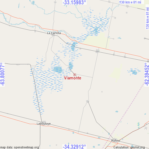
Viamonte GPS coordinates[2]
33° 44' 47.292" South, 63° 5' 51.504" West
| Map corner | latitude | longitude |
|---|---|---|
| Upper-left | -33.15983°, | -63.80077° |
| Center: | -33.74647°, | -63.09764° |
| Lower-right: | -34.32912°, | -62.39452° |
| Map W x H: | 130×130 km | = 80.8×80.8mi |
| max Lat: | -21.94467° ⇑68% North |
| Viamonte: | -33.74647° |
| min Lat: | ⇓32% South -54.81084° |
| min Long | Viamonte | max Long |
| -72.88605° | -63.09764° | -53.64581° |
| W 46.9%⇐ | ⇒53.1% E |
Elevation
Elevation of Viamonte is 131 m = 430 ft, and this is 218.3 m = 716 ft below average elevation for this country.
| Max E: |
4040 m = 13255 ft | 52.4% |
| Avg. | 349.3 m = 1146 ft | |
| Viamonte | 131 m = 430 ft | |
Min E: |
-2 m = -7 ft | 47.6% |
See also: Argentina elevation on elevation.city.
Geographical zone
Viamonte is located in South temperate zone (between Tropic of Capricorn and the Antarctic Circle). Distance of this Southern Tropic circle is 1146.3 km =712.3 mi to North.| Distance of | km | miles | from Viamonte |
|---|---|---|---|
| Equator | 3752.3 | 2331.6 | to North |
| Tropic Capricorn | 1146.3 | 712.3 | to North |
| Antarctic Circle | 3648.9 | 2267.3 | to South |
| South Pole | 6254.8 | 3886.6 | to South |


Nearby cities:
15 places around Viamonte: (largest is in red/bold)
• Alejandro Roca
72.2 km =44.9 mi,  307°
307°
• Alejo Ledesma
46.6 km =29 mi,  70°
70°
• Arias
65.3 km =40.6 mi,  79°
79°
• Canals
27.9 km =17.3 mi,  43°
43°
• Guatimozín
68.8 km =42.8 mi,  62°
62°
• Huanchillas
50.7 km =31.5 mi,  280°
280°
• La Carlota
40.8 km =25.4 mi,  332°
332°
• La Cesira
25.5 km =15.8 mi,  153°
153°
• Laborde
69.7 km =43.3 mi,  18°
18°
• Laboulaye
50.2 km =31.2 mi,  212°
212°
• Monte Maíz
75.8 km =47.1 mi, 37°
• Pascanas
69.2 km =43 mi,  4°
4°
• Rufino
68 km =42.3 mi, 148°
• Santa Eufemia
65.7 km =40.8 mi,  344°
344°
• Wenceslao Escalante
70.6 km =43.9 mi,  25°
25°
Sources, notices
• [Note1] Compared only with cities in Argentina existing in our database
• [Src1] Map data: © OpenStreetMap contributors (CC-BY-SA)
• [Src2] Other city data from geonames.org with taken over terms of usage.
• [Src3] Geographical zone / Annual Mean Temperature by Robert A. Rohde @ Wikipedia
