Trasdorf geodata
Trasdorf (Lower Austria) is a populated place; located in Austria in Europe/Vienna (GMT+2) time zone. With population of 608 people, there are 2114 cities with bigger population in this country. Compared to other cities in Austria, 86.4% of cities are located further ↓South; 76.7% of cities are located further ←West and 94.2% of cities have higher elevation than Trasdorf. Note1
Administrative division(s):
- Level 1: Lower Austria
- Level 2: Politischer Bezirk Tulln
- Level 3: Atzenbrugg


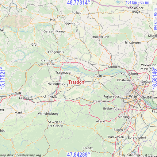
Trasdorf GPS coordinates[2]
48° 18' 45.576" North, 15° 52' 41.988" East
| Map corner | latitude | longitude |
|---|---|---|
| Upper-left | 48.77814°, | 15.17521° |
| Center: | 48.31266°, | 15.87833° |
| Lower-right: | 47.84289°, | 16.58146° |
| Map W x H: | 104×104 km | = 64.6×64.6mi |
| max Lat: | 48.98333° ⇑13.6% North |
| Trasdorf: | 48.31266° |
| min Lat: | ⇓86.4% South 46.48841° |
| min Long | Trasdorf | max Long |
| 9.57802° | 15.87833° | 17.1° |
| W 76.7%⇐ | ⇒23.3% E |
Elevation
Elevation of Trasdorf is 184 m = 604 ft, and this is 321.5 m = 1055 ft below average elevation for this country.
| Max E: |
2140 m = 7021 ft | 94.2% |
| Avg. | 505.5 m = 1658 ft | |
| Trasdorf | 184 m = 604 ft | |
Min E: |
118 m = 387 ft | 5.8% |
See also: Austria elevation on elevation.city.
Geographical zone
Trasdorf is located in North temperate zone (between Tropic of Cancer and the Arctic Circle). Distance of this North polar circle is 2029.3 km =1260.9 mi to North.| Distance of | km | miles | from Trasdorf |
|---|---|---|---|
| North Pole | 4635.2 | 2880.2 | to North |
| Arctic Circle | 2029.3 | 1260.9 | to North |
| Tropic Cancer | 2765.9 | 1718.7 | to South |
| Equator | 5371.9 | 3337.9 | to South |


Nearby cities:
15 places around Trasdorf: (largest is in red/bold)
• Asperhofen
8.2 km =5.1 mi,  154°
154°
• Atzenbrugg
3.2 km =2 mi,  139°
139°
• Erpersdorf
4.4 km =2.7 mi,  41°
41°
• Etzersdorf
10.8 km =6.7 mi,  241°
241°
• Gemeinlebarn
6 km =3.7 mi,  295°
295°
• Heiligeneich
1.9 km =1.2 mi, 141°
• Judenau
10.2 km =6.3 mi,  107°
107°
• Kapelln
10.8 km =6.7 mi, 235°
• Langenrohr
9.8 km =6.1 mi,  95°
95°
• Michelhausen
5.1 km =3.2 mi,  118°
118°
• Reidling
4.5 km =2.8 mi,  279°
279°
• Stollhofen
9.8 km =6.1 mi, 296°
• Traismauer
11.5 km =7.1 mi,  291°
291°
• Würmla
6.6 km =4.1 mi,  191°
191°
• Zwentendorf
4.3 km =2.7 mi,  33°
33°
Sources, notices
• [Note1] Compared only with cities in Austria existing in our database
• [Src1] Map data: © OpenStreetMap contributors (CC-BY-SA)
• [Src2] Other city data from geonames.org with taken over terms of usage.
• [Src3] Geographical zone / Annual Mean Temperature by Robert A. Rohde @ Wikipedia
