Oberlienz geodata
Oberlienz (Tyrol) is a seat of a third-order administrative division; located in Austria in Europe/Vienna (GMT+2) time zone. With population of 889 people, there are 1451 cities with bigger population in this country. Compared to other cities in Austria, 89.8% of cities are located further ↑North; 85.2% of cities are located further →East and 86.3% of cities have lower elevation than Oberlienz. Note1


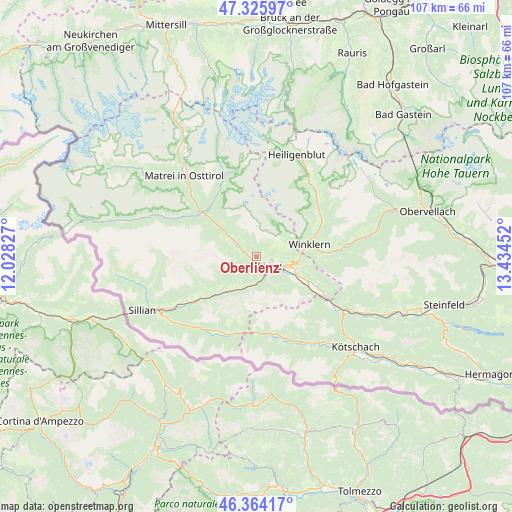
Oberlienz GPS coordinates[2]
46° 50' 49.992" North, 12° 43' 53.004" East
| Map corner | latitude | longitude |
|---|---|---|
| Upper-left | 47.32597°, | 12.02827° |
| Center: | 46.84722°, | 12.73139° |
| Lower-right: | 46.36417°, | 13.43452° |
| Map W x H: | 106.9×106.9 km | = 66.4×66.4mi |
| max Lat: | 48.98333° ⇑89.8% North |
| Oberlienz: | 46.84722° |
| min Lat: | ⇓10.2% South 46.48841° |
| min Long | Oberlienz | max Long |
| 9.57802° | 12.73139° | 17.1° |
| W 14.8%⇐ | ⇒85.2% E |
Elevation
Elevation of Oberlienz is 817 m = 2680 ft, and this is 311.5 m = 1022 ft above average elevation for this country.
| Max E: |
2140 m = 7021 ft | 13.7% |
| Oberlienz | 817 m 2680 ft | |
| Avg. | 505.5 m = 1658 ft | |
Min E: |
118 m = 387 ft | 86.3% |
See also: Austria elevation on elevation.city.
Geographical zone
Oberlienz is located in North temperate zone (between Tropic of Cancer and the Arctic Circle). Distance of this North polar circle is 2192.3 km =1362.2 mi to North.| Distance of | km | miles | from Oberlienz |
|---|---|---|---|
| North Pole | 4798.1 | 2981.4 | to North |
| Arctic Circle | 2192.3 | 1362.2 | to North |
| Tropic Cancer | 2603 | 1617.4 | to South |
| Equator | 5208.9 | 3236.7 | to South |


Nearby cities:
15 places around Oberlienz: (largest is in red/bold)
• Ainet
3.8 km =2.4 mi,  303°
303°
• Amlach
4.2 km =2.6 mi,  144°
144°
• Anras
15.3 km =9.5 mi,  237°
237°
• Assling
9.7 km =6 mi,  226°
226°
• Debant
6.7 km =4.2 mi,  103°
103°
• Dölsach
8.9 km =5.5 mi, 103°
• Lavant
9.7 km =6 mi,  123°
123°
• Leisach
4.1 km =2.5 mi,  161°
161°
• Lienz
3.5 km =2.2 mi,  125°
125°
• Nikolsdorf
15.4 km =9.6 mi, 116°
• Nußdorf
5.4 km =3.4 mi,  106°
106°
• Schlaiten
6.9 km =4.3 mi, 301°
• Thurn
2.9 km =1.8 mi,  82°
82°
• Tristach
5.6 km =3.5 mi, 127°
• Winklern
11.3 km =7 mi,  74°
74°
Sources, notices
• [Note1] Compared only with cities in Austria existing in our database
• [Src1] Map data: © OpenStreetMap contributors (CC-BY-SA)
• [Src2] Other city data from geonames.org with taken over terms of usage.
• [Src3] Geographical zone / Annual Mean Temperature by Robert A. Rohde @ Wikipedia
