Ainet geodata
Ainet (Tyrol) is a seat of a third-order administrative division; located in Austria in Europe/Vienna (GMT+2) time zone. With population of 784 people, there are 1648 cities with bigger population in this country. Compared to other cities in Austria, 89.1% of cities are located further ↑North; 85.3% of cities are located further →East and 80.5% of cities have lower elevation than Ainet. Note1


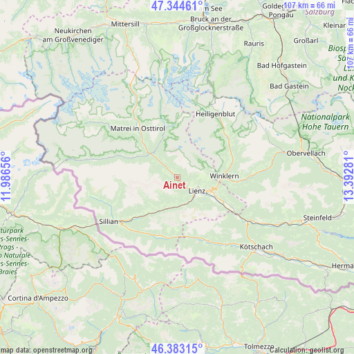
Ainet GPS coordinates[2]
46° 51' 57.708" North, 12° 41' 22.848" East
| Map corner | latitude | longitude |
|---|---|---|
| Upper-left | 47.34461°, | 11.98656° |
| Center: | 46.86603°, | 12.68968° |
| Lower-right: | 46.38315°, | 13.39281° |
| Map W x H: | 106.9×106.9 km | = 66.4×66.4mi |
| max Lat: | 48.98333° ⇑89.1% North |
| Ainet: | 46.86603° |
| min Lat: | ⇓10.9% South 46.48841° |
| min Long | Ainet | max Long |
| 9.57802° | 12.68968° | 17.1° |
| W 14.7%⇐ | ⇒85.3% E |
Elevation
Elevation of Ainet is 727 m = 2385 ft, and this is 221.5 m = 727 ft above average elevation for this country.
| Max E: |
2140 m = 7021 ft | 19.5% |
| Ainet | 727 m 2385 ft | |
| Avg. | 505.5 m = 1658 ft | |
Min E: |
118 m = 387 ft | 80.5% |
See also: Austria elevation on elevation.city.
Geographical zone
Ainet is located in North temperate zone (between Tropic of Cancer and the Arctic Circle). Distance of this North polar circle is 2190.2 km =1360.9 mi to North.| Distance of | km | miles | from Ainet |
|---|---|---|---|
| North Pole | 4796 | 2980.1 | to North |
| Arctic Circle | 2190.2 | 1360.9 | to North |
| Tropic Cancer | 2605.1 | 1618.7 | to South |
| Equator | 5211 | 3238 | to South |


Nearby cities:
15 places around Ainet: (largest is in red/bold)
• Amlach
7.9 km =4.9 mi,  134°
134°
• Anras
14.2 km =8.8 mi,  223°
223°
• Assling
9.6 km =6 mi,  203°
203°
• Debant
10.3 km =6.4 mi,  110°
110°
• Dölsach
12.6 km =7.8 mi, 109°
• Hopfgarten in Defereggen
13.1 km =8.1 mi,  296°
296°
• Lavant
13.5 km =8.4 mi,  123°
123°
• Leisach
7.5 km =4.7 mi,  143°
143°
• Lienz
7.3 km =4.5 mi, 124°
• Nußdorf
9.1 km =5.7 mi, 113°
• Oberlienz
3.8 km =2.4 mi, 123°
• Schlaiten
3.1 km =1.9 mi, 298°
• Thurn
6.2 km =3.9 mi, 105°
• Tristach
9.4 km =5.8 mi, 126°
• Winklern
14.1 km =8.8 mi,  86°
86°
Sources, notices
• [Note1] Compared only with cities in Austria existing in our database
• [Src1] Map data: © OpenStreetMap contributors (CC-BY-SA)
• [Src2] Other city data from geonames.org with taken over terms of usage.
• [Src3] Geographical zone / Annual Mean Temperature by Robert A. Rohde @ Wikipedia
