Mank geodata
Mank (Lower Austria) is a seat of a third-order administrative division; located in Austria in Europe/Vienna (GMT+2) time zone. With population of 2,021 people, there are 606 cities with bigger population in this country. Compared to other cities in Austria, 73.2% of cities are located further ↓South; 61.4% of cities are located further ←West and 76.1% of cities have higher elevation than Mank. Note1


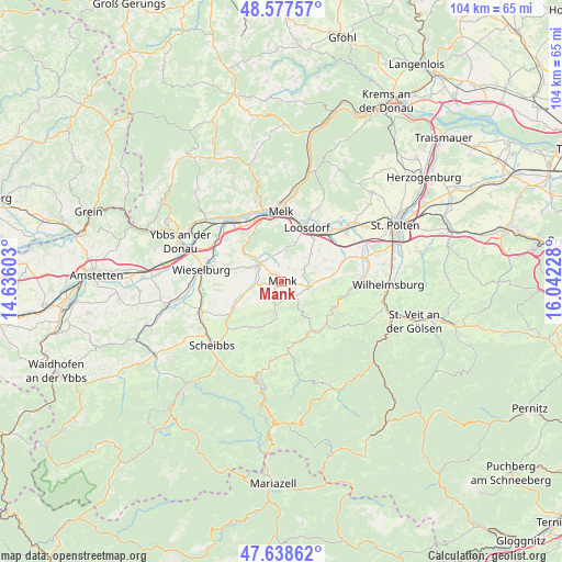
Mank GPS coordinates[2]
48° 6' 36.864" North, 15° 20' 20.94" East
| Map corner | latitude | longitude |
|---|---|---|
| Upper-left | 48.57757°, | 14.63603° |
| Center: | 48.11024°, | 15.33915° |
| Lower-right: | 47.63862°, | 16.04228° |
| Map W x H: | 104.4×104.4 km | = 64.9×64.9mi |
| max Lat: | 48.98333° ⇑26.8% North |
| Mank: | 48.11024° |
| min Lat: | ⇓73.2% South 46.48841° |
| min Long | Mank | max Long |
| 9.57802° | 15.33915° | 17.1° |
| W 61.4%⇐ | ⇒38.6% E |
Elevation
Elevation of Mank is 296 m = 971 ft, and this is 209.5 m = 687 ft below average elevation for this country.
| Max E: |
2140 m = 7021 ft | 76.1% |
| Avg. | 505.5 m = 1658 ft | |
| Mank | 296 m = 971 ft | |
Min E: |
118 m = 387 ft | 23.9% |
See also: Austria elevation on elevation.city.
Geographical zone
Mank is located in North temperate zone (between Tropic of Cancer and the Arctic Circle). Distance of this North polar circle is 2051.8 km =1274.9 mi to North.| Distance of | km | miles | from Mank |
|---|---|---|---|
| North Pole | 4657.7 | 2894.2 | to North |
| Arctic Circle | 2051.8 | 1274.9 | to North |
| Tropic Cancer | 2743.4 | 1704.7 | to South |
| Equator | 5349.4 | 3324 | to South |


Nearby cities:
15 places around Mank: (largest is in red/bold)
• Bischofstetten
9.7 km =6 mi,  82°
82°
• Dorf Au
10.4 km =6.5 mi,  117°
117°
• Gries bei Oberndorf
10.7 km =6.6 mi,  241°
241°
• Hürm
7.5 km =4.7 mi,  46°
46°
• Kilb
5.3 km =3.3 mi,  101°
101°
• Kirchberg an der Pielach
11.4 km =7.1 mi,  144°
144°
• Kirnberg an der Mank
4.4 km =2.7 mi,  196°
196°
• Loosdorf
11 km =6.8 mi,  24°
24°
• Matzleinsdorf
11.3 km =7 mi,  331°
331°
• Oberndorf an der Melk
10 km =6.2 mi, 238°
• Rabenstein an der Pielach
10.8 km =6.7 mi, 117°
• Ruprechtshofen
5.5 km =3.4 mi,  302°
302°
• Sankt Georgen an der Leys
12.1 km =7.5 mi,  223°
223°
• Sankt Leonhard am Forst
5.4 km =3.4 mi,  311°
311°
• Sankt Margarethen an der Sierning
12.5 km =7.8 mi,  64°
64°
Sources, notices
• [Note1] Compared only with cities in Austria existing in our database
• [Src1] Map data: © OpenStreetMap contributors (CC-BY-SA)
• [Src2] Other city data from geonames.org with taken over terms of usage.
• [Src3] Geographical zone / Annual Mean Temperature by Robert A. Rohde @ Wikipedia
