Bsuch geodata
Bsuch (Salzburg) is a populated place; located in Austria in Europe/Vienna (GMT+2) time zone. With population of 873 people, there are 1479 cities with bigger population in this country. Compared to other cities in Austria, 59.4% of cities are located further ↑North; 84.3% of cities are located further →East and 82.1% of cities have lower elevation than Bsuch. Note1
Administrative division(s):
- Level 1: Salzburg
- Level 2: Politischer Bezirk Zell am See
- Level 3: Saalfelden am Steinernen Meer


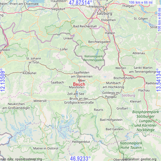
Bsuch GPS coordinates[2]
47° 24' 4.932" North, 12° 50' 17.556" East
| Map corner | latitude | longitude |
|---|---|---|
| Upper-left | 47.87514°, | 12.13509° |
| Center: | 47.40137°, | 12.83821° |
| Lower-right: | 46.9233°, | 13.54134° |
| Map W x H: | 105.8×105.8 km | = 65.7×65.7mi |
| max Lat: | 48.98333° ⇑59.4% North |
| Bsuch: | 47.40137° |
| min Lat: | ⇓40.6% South 46.48841° |
| min Long | Bsuch | max Long |
| 9.57802° | 12.83821° | 17.1° |
| W 15.7%⇐ | ⇒84.3% E |
Elevation
Elevation of Bsuch is 753 m = 2470 ft, and this is 247.5 m = 812 ft above average elevation for this country.
| Max E: |
2140 m = 7021 ft | 17.9% |
| Bsuch | 753 m 2470 ft | |
| Avg. | 505.5 m = 1658 ft | |
Min E: |
118 m = 387 ft | 82.1% |
See also: Austria elevation on elevation.city.
Geographical zone
Bsuch is located in North temperate zone (between Tropic of Cancer and the Arctic Circle). Distance of this North polar circle is 2130.6 km =1323.9 mi to North.| Distance of | km | miles | from Bsuch |
|---|---|---|---|
| North Pole | 4736.5 | 2943.1 | to North |
| Arctic Circle | 2130.6 | 1323.9 | to North |
| Tropic Cancer | 2664.6 | 1655.7 | to South |
| Equator | 5270.5 | 3274.9 | to South |


Nearby cities:
15 places around Bsuch: (largest is in red/bold)
• Atzing
5.7 km =3.5 mi,  210°
210°
• Dorfheim
3.6 km =2.2 mi,  357°
357°
• Haid
1.6 km =1 mi,  300°
300°
• Lenzing
5.4 km =3.4 mi,  341°
341°
• Leogang
7.2 km =4.5 mi,  305°
305°
• Maishofen
4.8 km =3 mi,  216°
216°
• Maria Alm am Steinernen Meer
4.8 km =3 mi,  84°
84°
• Mitterhofen
3.5 km =2.2 mi,  235°
235°
• Ramseiden
3.4 km =2.1 mi,  44°
44°
• Saalfelden am Steinernen Meer
2.9 km =1.8 mi,  14°
14°
• Schmitten
9.5 km =5.9 mi, 208°
• Thor
2.3 km =1.4 mi, 10°
• Thumersbach
8.2 km =5.1 mi,  191°
191°
• Viehhofen
8.8 km =5.5 mi, 243°
• Zell am See
9.1 km =5.7 mi,  201°
201°
Sources, notices
• [Note1] Compared only with cities in Austria existing in our database
• [Src1] Map data: © OpenStreetMap contributors (CC-BY-SA)
• [Src2] Other city data from geonames.org with taken over terms of usage.
• [Src3] Geographical zone / Annual Mean Temperature by Robert A. Rohde @ Wikipedia
