Wasleys geodata
Wasleys (South Australia) is a populated place; located in Australia in Australia/Adelaide (GMT+10.5) time zone. With population of 743 people, there are 4254 cities with bigger population in this country. Compared to other cities in Australia, 63% of cities are located further ↑North; 78.4% of cities are located further →East and 67.3% of cities have lower elevation than Wasleys. Note1


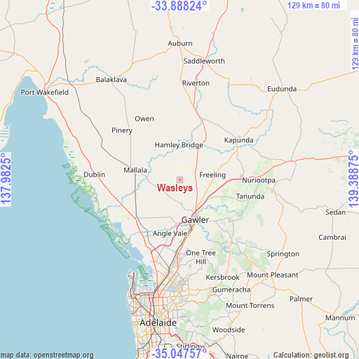
Wasleys GPS coordinates[2]
34° 28' 11.712" South, 138° 41' 8.232" East
| Map corner | latitude | longitude |
|---|---|---|
| Upper-left | -33.88824°, | 137.9825° |
| Center: | -34.46992°, | 138.68562° |
| Lower-right: | -35.04757°, | 139.38875° |
| Map W x H: | 128.9×128.9 km | = 80.1×80.1mi |
| max Lat: | -10.58257° ⇑63% North |
| Wasleys: | -34.46992° |
| min Lat: | ⇓37% South -43.31423° |
| min Long | Wasleys | max Long |
| 113.53327° | 138.68562° | 153.61246° |
| W 21.6%⇐ | ⇒78.4% E |
Elevation
Elevation of Wasleys is 90 m = 295 ft, and this is 32 m = 105 ft below average elevation for this country.
| Max E: |
1715 m = 5627 ft | 32.7% |
| Avg. | 122 m = 400 ft | |
| Wasleys | 90 m = 295 ft | |
Min E: |
-2 m = -7 ft | 67.3% |
See also: Australia elevation on elevation.city.
Geographical zone
Wasleys is located in South temperate zone (between Tropic of Capricorn and the Antarctic Circle). Distance of this Southern Tropic circle is 1226.8 km =762.3 mi to North.| Distance of | km | miles | from Wasleys |
|---|---|---|---|
| Equator | 3832.7 | 2381.5 | to North |
| Tropic Capricorn | 1226.8 | 762.3 | to North |
| Antarctic Circle | 3568.5 | 2217.4 | to South |
| South Pole | 6174.4 | 3836.6 | to South |


Nearby cities:
15 places around Wasleys: (largest is in red/bold)
• Evanston
16.9 km =10.5 mi,  164°
164°
• Evanston Gardens
17.4 km =10.8 mi,  169°
169°
• Evanston Park
17.7 km =11 mi, 163°
• Freeling
11.4 km =7.1 mi,  81°
81°
• Gawler
15.8 km =9.8 mi, 158°
• Gawler East
16 km =9.9 mi,  153°
153°
• Gawler South
16.2 km =10.1 mi, 160°
• Gawler West
15.6 km =9.7 mi, 163°
• Gawler city centre
15 km =9.3 mi, 159°
• Hamley Bridge
12.5 km =7.8 mi,  357°
357°
• Hewett
13.5 km =8.4 mi, 153°
• Lewiston
17.3 km =10.7 mi,  210°
210°
• Mallala
16.5 km =10.3 mi,  282°
282°
• Roseworthy
9.3 km =5.8 mi,  140°
140°
• Willaston
13.9 km =8.6 mi, 158°
Sources, notices
• [Note1] Compared only with cities in Australia existing in our database
• [Src1] Map data: © OpenStreetMap contributors (CC-BY-SA)
• [Src2] Other city data from geonames.org with taken over terms of usage.
• [Src3] Geographical zone / Annual Mean Temperature by Robert A. Rohde @ Wikipedia
