Mullewa geodata
Mullewa (Western Australia) is a populated place; located in Australia in Australia/Perth (GMT+8) time zone. With population of 516 people, there are 4827 cities with bigger population in this country. Compared to other cities in Australia, 74.5% of cities are located further ↓South; 98.8% of cities are located further →East and 86.5% of cities have lower elevation than Mullewa. Note1


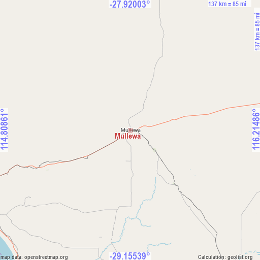
Mullewa GPS coordinates[2]
28° 32' 22.272" South, 115° 30' 42.228" East
| Map corner | latitude | longitude |
|---|---|---|
| Upper-left | -27.92003°, | 114.80861° |
| Center: | -28.53952°, | 115.51173° |
| Lower-right: | -29.15539°, | 116.21486° |
| Map W x H: | 137.4×137.4 km | = 85.4×85.4mi |
| max Lat: | -10.58257° ⇑25.5% North |
| Mullewa: | -28.53952° |
| min Lat: | ⇓74.5% South -43.31423° |
| min Long | Mullewa | max Long |
| 113.53327° | 115.51173° | 153.61246° |
| W 1.2%⇐ | ⇒98.8% E |
Elevation
Elevation of Mullewa is 277 m = 909 ft, and this is 155 m = 509 ft above average elevation for this country.
| Max E: |
1715 m = 5627 ft | 13.5% |
| Mullewa | 277 m 909 ft | |
| Avg. | 122 m = 400 ft | |
Min E: |
-2 m = -7 ft | 86.5% |
See also: Australia elevation on elevation.city.
Geographical zone
Mullewa is located in South temperate zone (between Tropic of Capricorn and the Antarctic Circle). Distance of this Southern Tropic circle is 567.4 km =352.6 mi to North.| Distance of | km | miles | from Mullewa |
|---|---|---|---|
| Equator | 3173.3 | 1971.8 | to North |
| Tropic Capricorn | 567.4 | 352.6 | to North |
| Antarctic Circle | 4227.9 | 2627.1 | to South |
| South Pole | 6833.8 | 4246.3 | to South |


Nearby cities:
15 places around Mullewa: (largest is in red/bold)
• Bluff Point
89.5 km =55.6 mi,  255°
255°
• Deepdale
84.3 km =52.4 mi,  250°
250°
• Drummond Cove
89 km =55.3 mi, 260°
• Glenfield
88.6 km =55.1 mi, 258°
• Karloo
89.4 km =55.6 mi, 251°
• Morawa
89.2 km =55.4 mi,  147°
147°
• Moresby
84.8 km =52.7 mi, 255°
• Northampton
88 km =54.7 mi,  283°
283°
• Spalding
88.1 km =54.7 mi, 255°
• Strathalbyn
87.7 km =54.5 mi, 254°
• Sunset Beach
89 km =55.3 mi, 257°
• Utakarra
88.3 km =54.9 mi, 252°
• Waggrakine
87.5 km =54.4 mi, 256°
• Wonthella
89.4 km =55.6 mi, 253°
• Woorree
87 km =54.1 mi, 253°
Sources, notices
• [Note1] Compared only with cities in Australia existing in our database
• [Src1] Map data: © OpenStreetMap contributors (CC-BY-SA)
• [Src2] Other city data from geonames.org with taken over terms of usage.
• [Src3] Geographical zone / Annual Mean Temperature by Robert A. Rohde @ Wikipedia
