Jarrahdale geodata
Jarrahdale (Western Australia) is a section of populated place; located in Australia in Australia/Perth (GMT+8) time zone. With population of 1,171 people, there are 3620 cities with bigger population in this country. Compared to other cities in Australia, 62.1% of cities are located further ↓South; 91.7% of cities are located further →East and 83.9% of cities have lower elevation than Jarrahdale. Note1


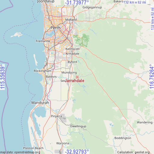
Jarrahdale GPS coordinates[2]
32° 20' 8.88" South, 116° 3' 34.236" East
| Map corner | latitude | longitude |
|---|---|---|
| Upper-left | -31.73977°, | 115.35639° |
| Center: | -32.3358°, | 116.05951° |
| Lower-right: | -32.92793°, | 116.76264° |
| Map W x H: | 132.1×132.1 km | = 82.1×82.1mi |
| max Lat: | -10.58257° ⇑37.9% North |
| Jarrahdale: | -32.3358° |
| min Lat: | ⇓62.1% South -43.31423° |
| min Long | Jarrahdale | max Long |
| 113.53327° | 116.05951° | 153.61246° |
| W 8.3%⇐ | ⇒91.7% E |
Elevation
Elevation of Jarrahdale is 229 m = 751 ft, and this is 107 m = 351 ft above average elevation for this country.
| Max E: |
1715 m = 5627 ft | 16.1% |
| Jarrahdale | 229 m 751 ft | |
| Avg. | 122 m = 400 ft | |
Min E: |
-2 m = -7 ft | 83.9% |
See also: Australia elevation on elevation.city.
Geographical zone
Jarrahdale is located in South temperate zone (between Tropic of Capricorn and the Antarctic Circle). Distance of this Southern Tropic circle is 989.5 km =614.8 mi to North.| Distance of | km | miles | from Jarrahdale |
|---|---|---|---|
| Equator | 3595.4 | 2234.1 | to North |
| Tropic Capricorn | 989.5 | 614.8 | to North |
| Antarctic Circle | 3805.8 | 2364.8 | to South |
| South Pole | 6411.7 | 3984 | to South |


Nearby cities:
15 places around Jarrahdale: (largest is in red/bold)
• Armadale
21.6 km =13.4 mi,  347°
347°
• Baldivis
21.5 km =13.4 mi,  272°
272°
• Bedfordale
18 km =11.2 mi,  357°
357°
• Brookdale
19.5 km =12.1 mi,  343°
343°
• Byford
13.6 km =8.5 mi, 339°
• Cardup
11.1 km =6.9 mi,  321°
321°
• Casuarina
20.7 km =12.9 mi,  300°
300°
• Darling Downs
17 km =10.6 mi, 337°
• Haynes
20.7 km =12.9 mi, 339°
• Hilbert
18.9 km =11.7 mi, 338°
• Keysbrook
13.9 km =8.6 mi,  218°
218°
• Mount Richon
18.4 km =11.4 mi, 348°
• Mundijong
8.5 km =5.3 mi, 304°
• Oakford
19.1 km =11.9 mi, 321°
• Serpentine
8.2 km =5.1 mi,  250°
250°
Sources, notices
• [Note1] Compared only with cities in Australia existing in our database
• [Src1] Map data: © OpenStreetMap contributors (CC-BY-SA)
• [Src2] Other city data from geonames.org with taken over terms of usage.
• [Src3] Geographical zone / Annual Mean Temperature by Robert A. Rohde @ Wikipedia
