Menindee geodata
Menindee (New South Wales) is a populated place; located in Australia in Australia/Sydney (GMT+11) time zone. With population of 605 people, there are 4554 cities with bigger population in this country. Compared to other cities in Australia, 61.9% of cities are located further ↓South; 74.4% of cities are located further →East and 61.2% of cities have lower elevation than Menindee. Note1


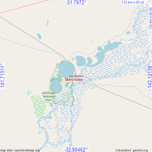
Menindee GPS coordinates[2]
32° 23' 34.296" South, 142° 25' 5.628" East
| Map corner | latitude | longitude |
|---|---|---|
| Upper-left | -31.7972°, | 141.71511° |
| Center: | -32.39286°, | 142.41823° |
| Lower-right: | -32.98462°, | 143.12136° |
| Map W x H: | 132×132 km | = 82×82mi |
| max Lat: | -10.58257° ⇑38.1% North |
| Menindee: | -32.39286° |
| min Lat: | ⇓61.9% South -43.31423° |
| min Long | Menindee | max Long |
| 113.53327° | 142.41823° | 153.61246° |
| W 25.6%⇐ | ⇒74.4% E |
Elevation
Elevation of Menindee is 67 m = 220 ft, and this is 55 m = 180 ft below average elevation for this country.
| Max E: |
1715 m = 5627 ft | 38.8% |
| Avg. | 122 m = 400 ft | |
| Menindee | 67 m = 220 ft | |
Min E: |
-2 m = -7 ft | 61.2% |
See also: Australia elevation on elevation.city.
Geographical zone
Menindee is located in South temperate zone (between Tropic of Capricorn and the Antarctic Circle). Distance of this Southern Tropic circle is 995.8 km =618.8 mi to North.| Distance of | km | miles | from Menindee |
|---|---|---|---|
| Equator | 3601.7 | 2238 | to North |
| Tropic Capricorn | 995.8 | 618.8 | to North |
| Antarctic Circle | 3799.4 | 2360.8 | to South |
| South Pole | 6405.3 | 3980.1 | to South |


Nearby cities:
15 places around Menindee: (largest is in red/bold)
• Birdwoodton
203.7 km =126.6 mi,  189°
189°
• Broken Hill
102.7 km =63.8 mi,  297°
297°
• Buronga
199 km =123.7 mi, 186°
• Cardross
214.6 km =133.3 mi, 187°
• Coomealla
192 km =119.3 mi, 189°
• Dareton
192.5 km =119.6 mi, 190°
• Euston
244.4 km =151.9 mi,  172°
172°
• Gol Gol
198.9 km =123.6 mi, 185°
• Irymple
206.2 km =128.1 mi, 186°
• Merbein
200.1 km =124.3 mi, 189°
• Mildura
200.7 km =124.7 mi, 186°
• Nichols Point
203.2 km =126.3 mi, 185°
• Red Cliffs
214.2 km =133.1 mi, 185°
• Wentworth
196.3 km =122 mi, 193°
• Wilcannia
129.5 km =80.5 mi,  44°
44°
Sources, notices
• [Note1] Compared only with cities in Australia existing in our database
• [Src1] Map data: © OpenStreetMap contributors (CC-BY-SA)
• [Src2] Other city data from geonames.org with taken over terms of usage.
• [Src3] Geographical zone / Annual Mean Temperature by Robert A. Rohde @ Wikipedia
