Culcairn geodata
Culcairn (New South Wales) is a populated place; located in Australia in Australia/Sydney (GMT+11) time zone. With population of 1,420 people, there are 3348 cities with bigger population in this country. Compared to other cities in Australia, 77.5% of cities are located further ↑North; 52.9% of cities are located further →East and 82.9% of cities have lower elevation than Culcairn. Note1


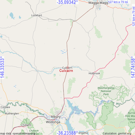
Culcairn GPS coordinates[2]
35° 40' 0.084" South, 147° 2' 18.42" East
| Map corner | latitude | longitude |
|---|---|---|
| Upper-left | -35.09342°, | 146.33533° |
| Center: | -35.66669°, | 147.03845° |
| Lower-right: | -36.23588°, | 147.74158° |
| Map W x H: | 127×127 km | = 78.9×78.9mi |
| max Lat: | -10.58257° ⇑77.5% North |
| Culcairn: | -35.66669° |
| min Lat: | ⇓22.5% South -43.31423° |
| min Long | Culcairn | max Long |
| 113.53327° | 147.03845° | 153.61246° |
| W 47.1%⇐ | ⇒52.9% E |
Elevation
Elevation of Culcairn is 217 m = 712 ft, and this is 95 m = 312 ft above average elevation for this country.
| Max E: |
1715 m = 5627 ft | 17.1% |
| Culcairn | 217 m 712 ft | |
| Avg. | 122 m = 400 ft | |
Min E: |
-2 m = -7 ft | 82.9% |
See also: Australia elevation on elevation.city.
Geographical zone
Culcairn is located in South temperate zone (between Tropic of Capricorn and the Antarctic Circle). Distance of this Southern Tropic circle is 1359.8 km =844.9 mi to North.| Distance of | km | miles | from Culcairn |
|---|---|---|---|
| Equator | 3965.8 | 2464.2 | to North |
| Tropic Capricorn | 1359.8 | 844.9 | to North |
| Antarctic Circle | 3435.4 | 2134.7 | to South |
| South Pole | 6041.3 | 3753.9 | to South |


Nearby cities:
15 places around Culcairn: (largest is in red/bold)
• Albury
46.5 km =28.9 mi,  192°
192°
• East Albury
47.1 km =29.3 mi, 191°
• Gerogery
19.1 km =11.9 mi, 192°
• Glenroy
44.2 km =27.5 mi,  195°
195°
• Hamilton Valley
42.7 km =26.5 mi, 194°
• Henty
16.2 km =10.1 mi,  358°
358°
• Holbrook
25.8 km =16 mi,  103°
103°
• Jindera
34.8 km =21.6 mi, 202°
• Lavington
42.4 km =26.3 mi, 192°
• North Albury
44.5 km =27.7 mi, 192°
• Springdale Heights
41.3 km =25.7 mi, 191°
• Table Top
33.5 km =20.8 mi, 185°
• The Rock
44.3 km =27.5 mi,  8°
8°
• Thurgoona
41.3 km =25.7 mi, 185°
• Walla Walla
16.3 km =10.1 mi,  229°
229°
Sources, notices
• [Note1] Compared only with cities in Australia existing in our database
• [Src1] Map data: © OpenStreetMap contributors (CC-BY-SA)
• [Src2] Other city data from geonames.org with taken over terms of usage.
• [Src3] Geographical zone / Annual Mean Temperature by Robert A. Rohde @ Wikipedia
