Broke geodata
Broke (New South Wales) is a populated place; located in Australia in Australia/Sydney (GMT+11) time zone. With population of 564 people, there are 4670 cities with bigger population in this country. Compared to other cities in Australia, 60.1% of cities are located further ↓South; 70.1% of cities are located further ←West and 65.6% of cities have lower elevation than Broke. Note1


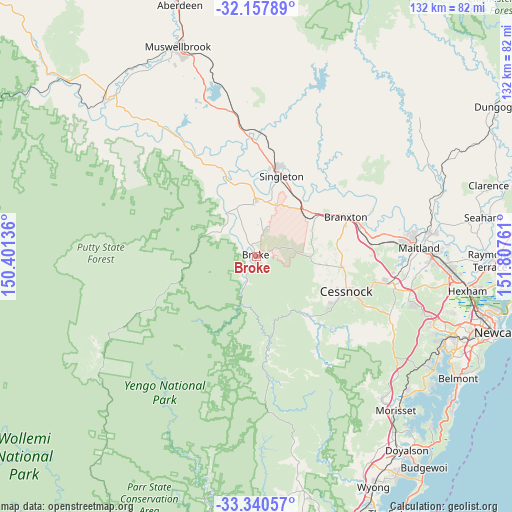
Broke GPS coordinates[2]
32° 45' 4.284" South, 151° 6' 16.128" East
| Map corner | latitude | longitude |
|---|---|---|
| Upper-left | -32.15789°, | 150.40136° |
| Center: | -32.75119°, | 151.10448° |
| Lower-right: | -33.34057°, | 151.80761° |
| Map W x H: | 131.5×131.5 km | = 81.7×81.7mi |
| max Lat: | -10.58257° ⇑39.9% North |
| Broke: | -32.75119° |
| min Lat: | ⇓60.1% South -43.31423° |
| min Long | Broke | max Long |
| 113.53327° | 151.10448° | 153.61246° |
| W 70.1%⇐ | ⇒29.9% E |
Elevation
Elevation of Broke is 82 m = 269 ft, and this is 40 m = 131 ft below average elevation for this country.
| Max E: |
1715 m = 5627 ft | 34.4% |
| Avg. | 122 m = 400 ft | |
| Broke | 82 m = 269 ft | |
Min E: |
-2 m = -7 ft | 65.6% |
See also: Australia elevation on elevation.city.
Geographical zone
Broke is located in South temperate zone (between Tropic of Capricorn and the Antarctic Circle). Distance of this Southern Tropic circle is 1035.7 km =643.6 mi to North.| Distance of | km | miles | from Broke |
|---|---|---|---|
| Equator | 3641.6 | 2262.8 | to North |
| Tropic Capricorn | 1035.7 | 643.6 | to North |
| Antarctic Circle | 3759.6 | 2336.1 | to South |
| South Pole | 6365.5 | 3955.3 | to South |


Nearby cities:
15 places around Broke: (largest is in red/bold)
• Bellbird
23.4 km =14.5 mi,  121°
121°
• Bellbird Heights
23.7 km =14.7 mi, 117°
• Branxton
25.4 km =15.8 mi,  65°
65°
• Cessnock
25.2 km =15.7 mi,  110°
110°
• East Branxton
26.7 km =16.6 mi, 66°
• Ellalong
26.6 km =16.5 mi,  133°
133°
• Hunterview
24.1 km =15 mi,  16°
16°
• Lovedale
24.4 km =15.2 mi,  95°
95°
• Millfield
21.2 km =13.2 mi,  136°
136°
• North Rothbury
23.3 km =14.5 mi, 73°
• Nulkaba
23.7 km =14.7 mi, 106°
• Paxton
24.1 km =15 mi, 135°
• Pokolbin
17.6 km =10.9 mi, 107°
• Singleton
21.2 km =13.2 mi, 15°
• Singleton Heights
23.9 km =14.9 mi,  12°
12°
Sources, notices
• [Note1] Compared only with cities in Australia existing in our database
• [Src1] Map data: © OpenStreetMap contributors (CC-BY-SA)
• [Src2] Other city data from geonames.org with taken over terms of usage.
• [Src3] Geographical zone / Annual Mean Temperature by Robert A. Rohde @ Wikipedia
