Birregurra geodata
Birregurra (Victoria) is a populated place; located in Australia in Australia/Melbourne (GMT+11) time zone. With population of 813 people, there are 4117 cities with bigger population in this country. Compared to other cities in Australia, 95% of cities are located further ↑North; 73.2% of cities are located further →East and 72.9% of cities have lower elevation than Birregurra. Note1


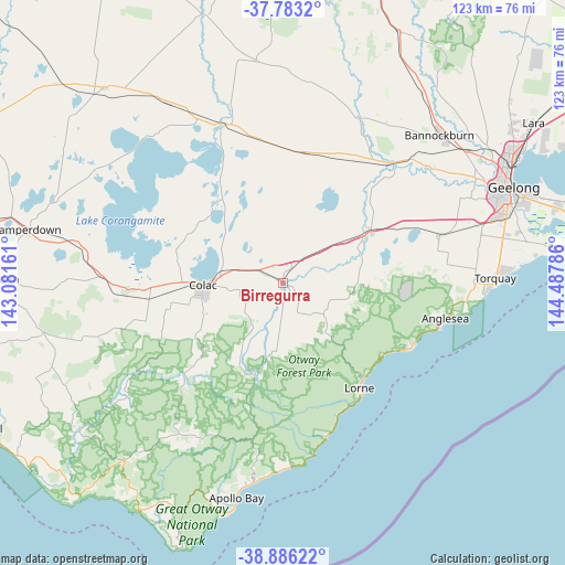
Birregurra GPS coordinates[2]
38° 20' 12.516" South, 143° 47' 5.028" East
| Map corner | latitude | longitude |
|---|---|---|
| Upper-left | -37.7832°, | 143.08161° |
| Center: | -38.33681°, | 143.78473° |
| Lower-right: | -38.88622°, | 144.48786° |
| Map W x H: | 122.6×122.6 km | = 76.2×76.2mi |
| max Lat: | -10.58257° ⇑95% North |
| Birregurra: | -38.33681° |
| min Lat: | ⇓5% South -43.31423° |
| min Long | Birregurra | max Long |
| 113.53327° | 143.78473° | 153.61246° |
| W 26.8%⇐ | ⇒73.2% E |
Elevation
Elevation of Birregurra is 117 m = 384 ft, and this is 5 m = 16 ft below average elevation for this country.
| Max E: |
1715 m = 5627 ft | 27.1% |
| Avg. | 122 m = 400 ft | |
| Birregurra | 117 m = 384 ft | |
Min E: |
-2 m = -7 ft | 72.9% |
See also: Australia elevation on elevation.city.
Geographical zone
Birregurra is located in South temperate zone (between Tropic of Capricorn and the Antarctic Circle). Distance of this Southern Tropic circle is 1656.7 km =1029.4 mi to North.| Distance of | km | miles | from Birregurra |
|---|---|---|---|
| Equator | 4262.7 | 2648.7 | to North |
| Tropic Capricorn | 1656.7 | 1029.4 | to North |
| Antarctic Circle | 3138.5 | 1950.2 | to South |
| South Pole | 5744.4 | 3569.4 | to South |


Nearby cities:
15 places around Birregurra: (largest is in red/bold)
• Aireys Inlet
31.2 km =19.4 mi,  116°
116°
• Anglesea
35.8 km =22.2 mi,  102°
102°
• Apollo Bay
48 km =29.8 mi,  191°
191°
• Bannockburn
46.4 km =28.8 mi,  46°
46°
• Bellbrae
42 km =26.1 mi,  89°
89°
• Colac
17.4 km =10.8 mi,  269°
269°
• Elliminyt
18.3 km =11.4 mi,  257°
257°
• Inverleigh
35 km =21.7 mi,  41°
41°
• Jan Juc
44.5 km =27.7 mi, 91°
• Lorne
28.1 km =17.5 mi,  143°
143°
• Moriac
35.7 km =22.2 mi,  72°
72°
• Teesdale
40.9 km =25.4 mi,  34°
34°
• Torquay
47.2 km =29.3 mi, 89°
• Waurn Ponds
45.5 km =28.3 mi, 72°
• Winchelsea
20.1 km =12.5 mi,  59°
59°
Sources, notices
• [Note1] Compared only with cities in Australia existing in our database
• [Src1] Map data: © OpenStreetMap contributors (CC-BY-SA)
• [Src2] Other city data from geonames.org with taken over terms of usage.
• [Src3] Geographical zone / Annual Mean Temperature by Robert A. Rohde @ Wikipedia
