Leeming geodata
Leeming (Western Australia) is a section of populated place; located in Australia in Australia/Perth (GMT+8) time zone. With population of 10,476 people, there are 542 cities with bigger population in this country. Compared to other cities in Australia, 63.8% of cities are located further ↓South; 94.4% of cities are located further →East and 61.8% of cities have higher elevation than Leeming. Note1


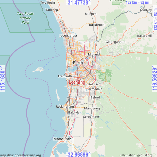
Leeming GPS coordinates[2]
32° 4' 30.396" South, 115° 51' 58.068" East
| Map corner | latitude | longitude |
|---|---|---|
| Upper-left | -31.47738°, | 115.16301° |
| Center: | -32.07511°, | 115.86613° |
| Lower-right: | -32.66896°, | 116.56926° |
| Map W x H: | 132.5×132.5 km | = 82.3×82.3mi |
| max Lat: | -10.58257° ⇑36.2% North |
| Leeming: | -32.07511° |
| min Lat: | ⇓63.8% South -43.31423° |
| min Long | Leeming | max Long |
| 113.53327° | 115.86613° | 153.61246° |
| W 5.6%⇐ | ⇒94.4% E |
Elevation
Elevation of Leeming is 30 m = 98 ft, and this is 92 m = 302 ft below average elevation for this country.
| Max E: |
1715 m = 5627 ft | 61.8% |
| Avg. | 122 m = 400 ft | |
| Leeming | 30 m = 98 ft | |
Min E: |
-2 m = -7 ft | 38.2% |
See also: Australia elevation on elevation.city.
Geographical zone
Leeming is located in South temperate zone (between Tropic of Capricorn and the Antarctic Circle). Distance of this Southern Tropic circle is 960.5 km =596.8 mi to North.| Distance of | km | miles | from Leeming |
|---|---|---|---|
| Equator | 3566.4 | 2216.1 | to North |
| Tropic Capricorn | 960.5 | 596.8 | to North |
| Antarctic Circle | 3834.8 | 2382.8 | to South |
| South Pole | 6440.6 | 4002 | to South |


Nearby cities:
15 places around Leeming: (largest is in red/bold)
• Bateman
2.8 km =1.7 mi,  321°
321°
• Bibra Lake
5.1 km =3.2 mi,  240°
240°
• Booragoon
5 km =3.1 mi, 322°
• Brentwood
3.7 km =2.3 mi,  339°
339°
• Bull Creek
2.1 km =1.3 mi,  350°
350°
• City of Cockburn
3.7 km =2.3 mi,  214°
214°
• Jandakot
3 km =1.9 mi,  171°
171°
• Kardinya
4.9 km =3 mi,  282°
282°
• Mount Pleasant
4.2 km =2.6 mi, 338°
• Murdoch
2.8 km =1.7 mi, 282°
• North Lake
3 km =1.9 mi,  255°
255°
• Rossmoyne
3.9 km =2.4 mi,  2°
2°
• South Lake
4.8 km =3 mi, 212°
• Willetton
3.2 km =2 mi,  39°
39°
• Winthrop
4.3 km =2.7 mi,  306°
306°
Sources, notices
• [Note1] Compared only with cities in Australia existing in our database
• [Src1] Map data: © OpenStreetMap contributors (CC-BY-SA)
• [Src2] Other city data from geonames.org with taken over terms of usage.
• [Src3] Geographical zone / Annual Mean Temperature by Robert A. Rohde @ Wikipedia
