South Carnarvon geodata
South Carnarvon (Western Australia) is a section of populated place; located in Australia in Australia/Perth (GMT+8) time zone. With population of 1,006 people, there are 3809 cities with bigger population in this country. Compared to other cities in Australia, 89.8% of cities are located further ↓South; 99.9% of cities are located further →East and 95.5% of cities have higher elevation than South Carnarvon. Note1


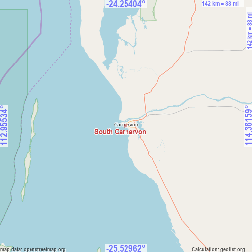
South Carnarvon GPS coordinates[2]
24° 53' 36.528" South, 113° 39' 30.456" East
| Map corner | latitude | longitude |
|---|---|---|
| Upper-left | -24.25404°, | 112.95534° |
| Center: | -24.89348°, | 113.65846° |
| Lower-right: | -25.52962°, | 114.36159° |
| Map W x H: | 141.8×141.8 km | = 88.1×88.1mi |
| max Lat: | -10.58257° ⇑10.2% North |
| South Carnarvon: | -24.89348° |
| min Lat: | ⇓89.8% South -43.31423° |
| min Long | South Carnarvon | max Long |
| 113.53327° | 113.65846° | 153.61246° |
| W 0.1%⇐ | ⇒99.9% E |
Elevation
Elevation of South Carnarvon is 6 m = 20 ft, and this is 116 m = 381 ft below average elevation for this country.
| Max E: |
1715 m = 5627 ft | 95.5% |
| Avg. | 122 m = 400 ft | |
| South Carnarvon | 6 m = 20 ft | |
Min E: |
-2 m = -7 ft | 4.5% |
See also: Australia elevation on elevation.city.
Geographical zone
South Carnarvon is located in South temperate zone (between Tropic of Capricorn and the Antarctic Circle). Distance of this Southern Tropic circle is 162 km =100.7 mi to North.| Distance of | km | miles | from South Carnarvon |
|---|---|---|---|
| Equator | 2767.9 | 1719.9 | to North |
| Tropic Capricorn | 162 | 100.7 | to North |
| Antarctic Circle | 4633.3 | 2879 | to South |
| South Pole | 7239.2 | 4498.2 | to South |


Nearby cities:
15 places around South Carnarvon: (largest is in red/bold)
• Brockman
1.4 km =0.9 mi,  340°
340°
• Carnarvon
1.2 km =0.7 mi,  353°
353°
• Coral Bay
195.2 km =121.3 mi,  3°
3°
• Denham
115.6 km =71.8 mi,  186°
186°
• Drummond Cove
430.9 km =267.7 mi,  167°
167°
• East Carnarvon
3.8 km =2.4 mi,  30°
30°
• Exmouth
332.8 km =206.8 mi,  8°
8°
• Glenfield
433.1 km =269.1 mi, 167°
• Kalbarri
317.3 km =197.2 mi, 170°
• Kingsford
5 km =3.1 mi,  48°
48°
• Morgantown
1.9 km =1.2 mi, 1°
• North West Cape
332.1 km =206.4 mi, 6°
• Northampton
396.5 km =246.4 mi, 165°
• Onslow
391.3 km =243.1 mi,  22°
22°
• Sunset Beach
436 km =270.9 mi, 167°
Sources, notices
• [Note1] Compared only with cities in Australia existing in our database
• [Src1] Map data: © OpenStreetMap contributors (CC-BY-SA)
• [Src2] Other city data from geonames.org with taken over terms of usage.
• [Src3] Geographical zone / Annual Mean Temperature by Robert A. Rohde @ Wikipedia
