Neft Daşları geodata
Neft Daşları (Baki) is a populated place; located in Azerbaijan in Asia/Baku (GMT+4) time zone. With population of 916 people, there are 177 cities with bigger population in this country. Compared to other cities in Azerbaijan, 62.2% of cities are located further ↑North; 100% of cities are located further ←West and 99.5% of cities have higher elevation than Neft Daşları. Note1


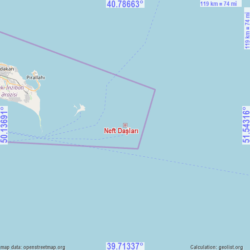
Neft Daşları GPS coordinates[2]
40° 15' 7.668" North, 50° 50' 24.108" East
| Map corner | latitude | longitude |
|---|---|---|
| Upper-left | 40.78663°, | 50.13691° |
| Center: | 40.25213°, | 50.84003° |
| Lower-right: | 39.71337°, | 51.54316° |
| Map W x H: | 119.3×119.3 km | = 74.1×74.1mi |
| max Lat: | 41.75259° ⇑62.2% North |
| Neft Daşları: | 40.25213° |
| min Lat: | ⇓37.8% South 38.45598° |
| min Long | Neft Daşları | max Long |
| 44.84846° | 50.84003° | 50.84003° |
| W 100%⇐ | ⇒0% E |
Elevation
Elevation of Neft Daşları is -25 m = -82 ft, and this is 408 m = 1339 ft below average elevation for this country.
| Max E: |
2211 m = 7254 ft | 99.5% |
| Avg. | 383 m = 1257 ft | |
| Neft Daşları | -25 m = -82 ft | |
Min E: |
-26 m = -85 ft | 0.5% |
See also: Azerbaijan elevation on elevation.city.
Geographical zone
Neft Daşları is located in North temperate zone (between Tropic of Cancer and the Arctic Circle). Distance of this Northern Tropic circle is 1869.7 km =1161.8 mi to South.| Distance of | km | miles | from Neft Daşları |
|---|---|---|---|
| North Pole | 5531.4 | 3437.1 | to North |
| Arctic Circle | 2925.6 | 1817.9 | to North |
| Tropic Cancer | 1869.7 | 1161.8 | to South |
| Equator | 4475.6 | 2781 | to South |


Nearby cities:
15 places around Neft Daşları: (largest is in red/bold)
• Amirdzhan
75.1 km =46.7 mi,  284°
284°
• Bakıxanov
76.3 km =47.4 mi, 284°
• Bilajer
76.1 km =47.3 mi,  297°
297°
• Biny Selo
67.5 km =41.9 mi,  289°
289°
• Buzovna
68.2 km =42.4 mi, 295°
• Gyurgyan
45.6 km =28.3 mi, 290°
• Hövsan
65.4 km =40.6 mi, 281°
• Mardakan
64.8 km =40.3 mi, 294°
• Pirallahı
49.9 km =31 mi, 299°
• Qala
60.8 km =37.8 mi, 290°
• Qaraçuxur
75.2 km =46.7 mi, 282°
• Ramana
75.8 km =47.1 mi, 286°
• Türkan
54 km =33.6 mi, 283°
• Yeni Suraxanı
71 km =44.1 mi, 286°
• Zyrya
48.2 km =30 mi, 285°
Sources, notices
• [Note1] Compared only with cities in Azerbaijan existing in our database
• [Src1] Map data: © OpenStreetMap contributors (CC-BY-SA)
• [Src2] Other city data from geonames.org with taken over terms of usage.
• [Src3] Geographical zone / Annual Mean Temperature by Robert A. Rohde @ Wikipedia
