Çobansığnaq geodata
Çobansığnaq (Tovuz) is a populated place; located in Azerbaijan in Asia/Baku (GMT+4) time zone. With population of 1,589 people, there are 160 cities with bigger population in this country. Compared to other cities in Azerbaijan, 74.6% of cities are located further ↓South; 87.6% of cities are located further →East and 94.1% of cities have lower elevation than Çobansığnaq. Note1


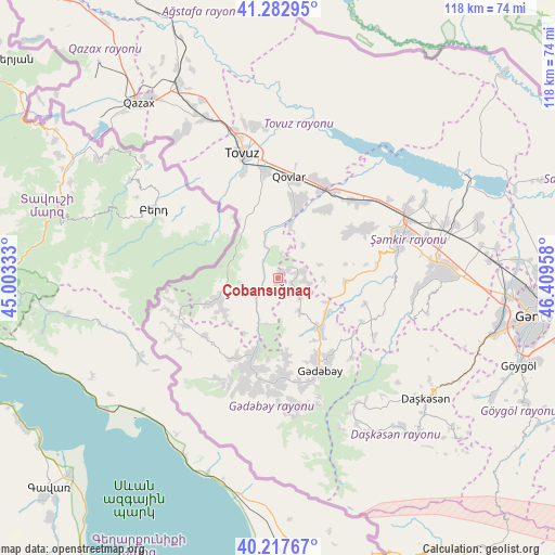
Çobansığnaq GPS coordinates[2]
40° 45' 8.784" North, 45° 42' 23.22" East
| Map corner | latitude | longitude |
|---|---|---|
| Upper-left | 41.28295°, | 45.00333° |
| Center: | 40.75244°, | 45.70645° |
| Lower-right: | 40.21767°, | 46.40958° |
| Map W x H: | 118.4×118.4 km | = 73.6×73.6mi |
| max Lat: | 41.75259° ⇑25.4% North |
| Çobansığnaq: | 40.75244° |
| min Lat: | ⇓74.6% South 38.45598° |
| min Long | Çobansığnaq | max Long |
| 44.84846° | 45.70645° | 50.84003° |
| W 12.4%⇐ | ⇒87.6% E |
Elevation
Elevation of Çobansığnaq is 1341 m = 4400 ft, and this is 958 m = 3143 ft above average elevation for this country.
| Max E: |
2211 m = 7254 ft | 5.9% |
| Çobansığnaq | 1341 m 4400 ft | |
| Avg. | 383 m = 1257 ft | |
Min E: |
-26 m = -85 ft | 94.1% |
See also: Azerbaijan elevation on elevation.city.
Geographical zone
Çobansığnaq is located in North temperate zone (between Tropic of Cancer and the Arctic Circle). Distance of this Northern Tropic circle is 1925.3 km =1196.3 mi to South.| Distance of | km | miles | from Çobansığnaq |
|---|---|---|---|
| North Pole | 5475.8 | 3402.5 | to North |
| Arctic Circle | 2869.9 | 1783.3 | to North |
| Tropic Cancer | 1925.3 | 1196.3 | to South |
| Equator | 4531.2 | 2815.6 | to South |


Nearby cities:
15 places around Çobansığnaq: (largest is in red/bold)
• Alunitdağ
38.3 km =23.8 mi,  130°
130°
• Arıqdam
19.4 km =12.1 mi,  156°
156°
• Arıqıran
24.9 km =15.5 mi,  198°
198°
• Böyük Qaramurad
20.4 km =12.7 mi, 196°
• Dolyar
30.2 km =18.8 mi,  66°
66°
• Dondar Quşçu
23.6 km =14.7 mi,  341°
341°
• Dzagam
22.6 km =14 mi,  41°
41°
• Kyadabek
22.1 km =13.7 mi, 156°
• Novosaratovka
19.3 km =12 mi,  207°
207°
• Qaraxanlı
32.7 km =20.3 mi,  352°
352°
• Shamkhor
27.6 km =17.1 mi, 71°
• Tovuz
27.5 km =17.1 mi, 346°
• Yanıqlı
10.3 km =6.4 mi, 347°
• Yukhary-Dashkesan
40.6 km =25.2 mi, 128°
• Çatax
12.7 km =7.9 mi,  256°
256°
Sources, notices
• [Note1] Compared only with cities in Azerbaijan existing in our database
• [Src1] Map data: © OpenStreetMap contributors (CC-BY-SA)
• [Src2] Other city data from geonames.org with taken over terms of usage.
• [Src3] Geographical zone / Annual Mean Temperature by Robert A. Rohde @ Wikipedia
