Shabla geodata
Shabla (Dobrich) is a seat of a second-order administrative division; located in Bulgaria in Europe/Sofia (GMT+3) time zone. With population of 3,901 people, there are 158 cities with bigger population in this country. Compared to other cities in Bulgaria, 82% of cities are located further ↓South; 100% of cities are located further ←West and 93% of cities have higher elevation than Shabla. Note1


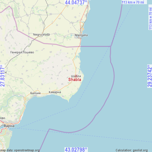
Shabla GPS coordinates[2]
43° 32' 23.388" North, 28° 32' 3.444" East
| Map corner | latitude | longitude |
|---|---|---|
| Upper-left | 44.04737°, | 27.83117° |
| Center: | 43.53983°, | 28.53429° |
| Lower-right: | 43.02798°, | 29.23742° |
| Map W x H: | 113.3×113.3 km | = 70.4×70.4mi |
| max Lat: | 44.16214° ⇑18% North |
| Shabla: | 43.53983° |
| min Lat: | ⇓82% South 41.32715° |
| min Long | Shabla | max Long |
| 22.52139° | 28.53429° | 28.53429° |
| W 100%⇐ | ⇒0% E |
Elevation
Elevation of Shabla is 30 m = 98 ft, and this is 286.6 m = 940 ft below average elevation for this country.
| Max E: |
1221 m = 4006 ft | 93% |
| Avg. | 316.6 m = 1039 ft | |
| Shabla | 30 m = 98 ft | |
Min E: |
1 m = 3 ft | 7% |
See also: Bulgaria elevation on elevation.city.
Geographical zone
Shabla is located in North temperate zone (between Tropic of Cancer and the Arctic Circle). Distance of this Northern Tropic circle is 2235.3 km =1389 mi to South.| Distance of | km | miles | from Shabla |
|---|---|---|---|
| North Pole | 5165.9 | 3209.9 | to North |
| Arctic Circle | 2560 | 1590.7 | to North |
| Tropic Cancer | 2235.3 | 1389 | to South |
| Equator | 4841.2 | 3008.2 | to South |


Nearby cities:
15 places around Shabla: (largest is in red/bold)
• Aksakovo
65.7 km =40.8 mi,  241°
241°
• Asparuhovo
65.7 km =40.8 mi,  232°
232°
• Balchik
33 km =20.5 mi,  246°
246°
• Balgarevo
18.1 km =11.2 mi,  212°
212°
• Beloslav
77.6 km =48.2 mi, 239°
• Bliznatsi
75.3 km =46.8 mi, 225°
• Dobrich
56.6 km =35.2 mi,  273°
273°
• General Toshevo
43.8 km =27.2 mi,  294°
294°
• Kavarna
19.5 km =12.1 mi, 233°
• Kranevo
44.4 km =27.6 mi, 240°
• Krushari
69.8 km =43.4 mi,  296°
296°
• Spasovo
25.8 km =16 mi,  314°
314°
• Suvorovo
79 km =49.1 mi, 252°
• Varna
61.5 km =38.2 mi, 234°
• Zlatni Pyasatsi
48.8 km =30.3 mi, 234°
Sources, notices
• [Note1] Compared only with cities in Bulgaria existing in our database
• [Src1] Map data: © OpenStreetMap contributors (CC-BY-SA)
• [Src2] Other city data from geonames.org with taken over terms of usage.
• [Src3] Geographical zone / Annual Mean Temperature by Robert A. Rohde @ Wikipedia
