Quebrangulo geodata
Quebrangulo (Alagoas) is a populated place; located in Brazil in America/Maceio (GMT-3) time zone. With population of 6,587 people, there are 1851 cities with bigger population in this country. Compared to other cities in Brazil, 70.1% of cities are located further ↓South; 91.1% of cities are located further ←West and 51.5% of cities have lower elevation than Quebrangulo. Note1


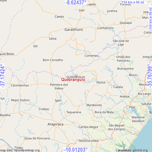
Quebrangulo GPS coordinates[2]
9° 19' 8.004" South, 36° 28' 15.996" West
| Map corner | latitude | longitude |
|---|---|---|
| Upper-left | -8.62437°, | -37.17424° |
| Center: | -9.31889°, | -36.47111° |
| Lower-right: | -10.01203°, | -35.76799° |
| Map W x H: | 154.3×154.3 km | = 95.9×95.9mi |
| max Lat: | 2.81972° ⇑29.9% North |
| Quebrangulo: | -9.31889° |
| min Lat: | ⇓70.1% South -33.69111° |
| min Long | Quebrangulo | max Long |
| -72.89583° | -36.47111° | -32.41083° |
| W 91.1%⇐ | ⇒8.9% E |
Elevation
Elevation of Quebrangulo is 370 m = 1214 ft, and this is 10.9 m = 36 ft below average elevation for this country.
| Max E: |
1603 m = 5259 ft | 48.5% |
| Avg. | 380.9 m = 1250 ft | |
| Quebrangulo | 370 m = 1214 ft | |
Min E: |
0 m = 0 ft | 51.5% |
See also: Brazil elevation on elevation.city.
Geographical zone
Quebrangulo is located in South Torrid zone (between Equator and Tropic of Capricorn). Distance of Equator is 1036.2 km =643.9 mi to North.| Distance of | km | miles | from Quebrangulo |
|---|---|---|---|
| Equator | 1036.2 | 643.9 | to North |
| Tropic Capricorn | 1569.8 | 975.4 | to South |
| Antarctic Circle | 6365 | 3955 | to South |
| South Pole | 8970.9 | 5574.3 | to South |


Nearby cities:
15 places around Quebrangulo: (largest is in red/bold)
• Anadia
44.6 km =27.7 mi,  155°
155°
• Bom Conselho
28.3 km =17.6 mi,  305°
305°
• Cajueiro
44.3 km =27.5 mi,  177°
177°
• Capela
44.7 km =27.8 mi,  102°
102°
• Coité do Nóia
36.8 km =22.9 mi,  198°
198°
• Garanhuns
48.7 km =30.3 mi,  355°
355°
• Igaci
30.1 km =18.7 mi,  216°
216°
• Limoeiro de Anadia
47 km =29.2 mi, 184°
• Maribondo
34 km =21.1 mi,  147°
147°
• Minador do Negrão
43.2 km =26.8 mi,  272°
272°
• Santana do Mundaú
32.1 km =19.9 mi,  58°
58°
• São João
50.6 km =31.4 mi,  13°
13°
• Taquarana
36.4 km =22.6 mi, 184°
• União dos Palmares
51.2 km =31.8 mi,  70°
70°
• Viçosa
25.9 km =16.1 mi, 103°
Sources, notices
• [Note1] Compared only with cities in Brazil existing in our database
• [Src1] Map data: © OpenStreetMap contributors (CC-BY-SA)
• [Src2] Other city data from geonames.org with taken over terms of usage.
• [Src3] Geographical zone / Annual Mean Temperature by Robert A. Rohde @ Wikipedia
