Goiana geodata
Goiana (Pernambuco) is a populated place; located in Brazil in America/Recife (GMT-3) time zone. With population of 43,980 people, there are 485 cities with bigger population in this country. Compared to other cities in Brazil, 77.3% of cities are located further ↓South; 99.1% of cities are located further ←West and 88.3% of cities have higher elevation than Goiana. Note1


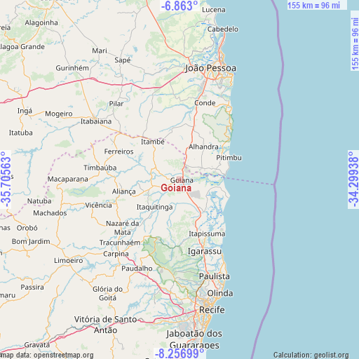
Goiana GPS coordinates[2]
7° 33' 38.016" South, 35° 0' 9" West
| Map corner | latitude | longitude |
|---|---|---|
| Upper-left | -6.863°, | -35.70563° |
| Center: | -7.56056°, | -35.0025° |
| Lower-right: | -8.25699°, | -34.29938° |
| Map W x H: | 155×155 km | = 96.3×96.3mi |
| max Lat: | 2.81972° ⇑22.7% North |
| Goiana: | -7.56056° |
| min Lat: | ⇓77.3% South -33.69111° |
| min Long | Goiana | max Long |
| -72.89583° | -35.0025° | -32.41083° |
| W 99.1%⇐ | ⇒0.90000000000001% E |
Elevation
Elevation of Goiana is 21 m = 69 ft, and this is 359.9 m = 1181 ft below average elevation for this country.
| Max E: |
1603 m = 5259 ft | 88.3% |
| Avg. | 380.9 m = 1250 ft | |
| Goiana | 21 m = 69 ft | |
Min E: |
0 m = 0 ft | 11.7% |
See also: Goiana elevation on elevation.city.
Geographical zone
Goiana is located in South Torrid zone (between Equator and Tropic of Capricorn). Distance of Equator is 840.7 km =522.4 mi to North.| Distance of | km | miles | from Goiana |
|---|---|---|---|
| Equator | 840.7 | 522.4 | to North |
| Tropic Capricorn | 1765.3 | 1096.9 | to South |
| Antarctic Circle | 6560.5 | 4076.5 | to South |
| South Pole | 9166.4 | 5695.7 | to South |


Nearby cities:
15 places around Goiana: (largest is in red/bold)
• Alhandra
16.7 km =10.4 mi,  35°
35°
• Araçoiaba
27.3 km =17 mi,  200°
200°
• Caaporã
11.5 km =7.1 mi,  64°
64°
• Ciceroândia
34.4 km =21.4 mi,  3°
3°
• Condado
11.7 km =7.3 mi,  256°
256°
• Conde
35.1 km =21.8 mi,  17°
17°
• Igarassu
32.2 km =20 mi,  160°
160°
• Itamaracá
28.5 km =17.7 mi,  136°
136°
• Itapissuma
26.9 km =16.7 mi,  153°
153°
• Itaquitinga
16.2 km =10.1 mi,  222°
222°
• Juripiranga
33.3 km =20.7 mi,  308°
308°
• Nazaré da Mata
32 km =19.9 mi,  230°
230°
• Pedras de Fogo
21.6 km =13.4 mi,  324°
324°
• Pitimbu
23.6 km =14.7 mi, 64°
• Timbaúba
35.4 km =22 mi,  280°
280°
Sources, notices
• [Note1] Compared only with cities in Brazil existing in our database
• [Src1] Map data: © OpenStreetMap contributors (CC-BY-SA)
• [Src2] Other city data from geonames.org with taken over terms of usage.
• [Src3] Geographical zone / Annual Mean Temperature by Robert A. Rohde @ Wikipedia
