Matozinhos geodata
Matozinhos (Minas Gerais) is a populated place; located in Brazil in America/Sao_Paulo (GMT-3) time zone. With population of 30,843 people, there are 655 cities with bigger population in this country. Compared to other cities in Brazil, 54.9% of cities are located further ↑North; 55.4% of cities are located further ←West and 90% of cities have lower elevation than Matozinhos. Note1


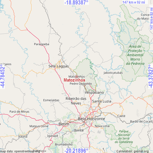
Matozinhos GPS coordinates[2]
19° 33' 28.008" South, 44° 4' 53.004" West
| Map corner | latitude | longitude |
|---|---|---|
| Upper-left | -18.89387°, | -44.78452° |
| Center: | -19.55778°, | -44.08139° |
| Lower-right: | -20.21896°, | -43.37827° |
| Map W x H: | 147.3×147.3 km | = 91.5×91.5mi |
| max Lat: | 2.81972° ⇑54.9% North |
| Matozinhos: | -19.55778° |
| min Lat: | ⇓45.1% South -33.69111° |
| min Long | Matozinhos | max Long |
| -72.89583° | -44.08139° | -32.41083° |
| W 55.4%⇐ | ⇒44.6% E |
Elevation
Elevation of Matozinhos is 814 m = 2671 ft, and this is 433.1 m = 1421 ft above average elevation for this country.
| Max E: |
1603 m = 5259 ft | 10% |
| Matozinhos | 814 m 2671 ft | |
| Avg. | 380.9 m = 1250 ft | |
Min E: |
0 m = 0 ft | 90% |
See also: Brazil elevation on elevation.city.
Geographical zone
Matozinhos is located in South Torrid zone (between Equator and Tropic of Capricorn). Distance of this Southern Tropic circle is 431.3 km =268 mi to South.| Distance of | km | miles | from Matozinhos |
|---|---|---|---|
| Equator | 2174.6 | 1351.2 | to North |
| Tropic Capricorn | 431.3 | 268 | to South |
| Antarctic Circle | 5226.6 | 3247.7 | to South |
| South Pole | 7832.4 | 4866.8 | to South |


Nearby cities:
15 places around Matozinhos: (largest is in red/bold)
• Belo Horizonte
43.1 km =26.8 mi,  159°
159°
• Betim
47.2 km =29.3 mi,  195°
195°
• Contagem
41.7 km =25.9 mi,  175°
175°
• Esmeraldas
33.3 km =20.7 mi,  226°
226°
• Ibirité
51.7 km =32.1 mi, 177°
• Juatuba
51.7 km =32.1 mi,  211°
211°
• Lagoa Santa
20.5 km =12.7 mi,  113°
113°
• Nova Lima
53.5 km =33.2 mi,  152°
152°
• Pedro Leopoldo
7.8 km =4.8 mi, 149°
• Raposos
54 km =33.6 mi, 147°
• Ribeirão das Neves
23.3 km =14.5 mi, 181°
• Santa Luzia
33.7 km =20.9 mi,  134°
134°
• Sarzedo
53.5 km =33.2 mi,  187°
187°
• Sete Lagoas
20.1 km =12.5 mi,  300°
300°
• Vespasiano
22.3 km =13.9 mi, 132°
Sources, notices
• [Note1] Compared only with cities in Brazil existing in our database
• [Src1] Map data: © OpenStreetMap contributors (CC-BY-SA)
• [Src2] Other city data from geonames.org with taken over terms of usage.
• [Src3] Geographical zone / Annual Mean Temperature by Robert A. Rohde @ Wikipedia
