West End geodata
West End (West Grand Bahama) is a seat of a first-order administrative division; located in Bahamas in America/Nassau (GMT-4) time zone. With population of 12,724 people, there are 3 cities with bigger population in this country. Compared to other cities in Bahamas, 95.8% of cities are located further ↓South; 95.8% of cities are located further →East and 83.3% of cities have higher elevation than West End. Note1


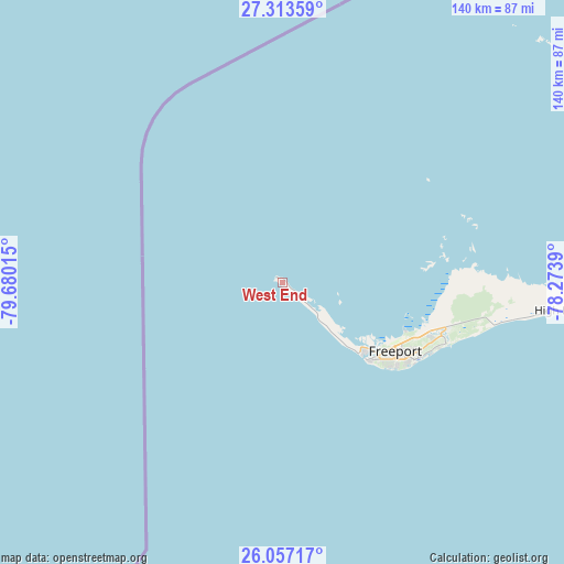
West End GPS coordinates[2]
26° 41' 13.596" North, 78° 58' 37.272" West
| Map corner | latitude | longitude |
|---|---|---|
| Upper-left | 27.31359°, | -79.68015° |
| Center: | 26.68711°, | -78.97702° |
| Lower-right: | 26.05717°, | -78.2739° |
| Map W x H: | 139.7×139.7 km | = 86.8×86.8mi |
| max Lat: | 26.87137° ⇑4.2% North |
| West End: | 26.68711° |
| min Lat: | ⇓95.8% South 20.94982° |
| min Long | West End | max Long |
| -79.29721° | -78.97702° | -72.96667° |
| W 4.2%⇐ | ⇒95.8% E |
Elevation
Elevation of West End is 5 m = 16 ft, and this is 4.5 m = 15 ft below average elevation for this country.
| Max E: |
27 m = 89 ft | 83.3% |
| Avg. | 9.5 m = 31 ft | |
| West End | 5 m = 16 ft | |
Min E: |
1 m = 3 ft | 16.7% |
See also: Bahamas elevation on elevation.city.
Geographical zone
West End is located in North temperate zone (between Tropic of Cancer and the Arctic Circle). Distance of this Northern Tropic circle is 361.4 km =224.6 mi to South.| Distance of | km | miles | from West End |
|---|---|---|---|
| North Pole | 7039.7 | 4374.3 | to North |
| Arctic Circle | 4433.8 | 2755 | to North |
| Tropic Cancer | 361.4 | 224.6 | to South |
| Equator | 2967.3 | 1843.8 | to South |


Nearby cities:
15 places around West End: (largest is in red/bold)
• Alice Town
111.3 km =69.2 mi,  196°
196°
• Andros Town
251.4 km =156.2 mi,  151°
151°
• Arthur’s Town
403 km =250.4 mi,  124°
124°
• Black Point
388.1 km =241.2 mi,  137°
137°
• Cooper’s Town
146.9 km =91.3 mi,  81°
81°
• Dunmore Town
268.3 km =166.7 mi, 119°
• Freeport
32.4 km =20.1 mi, 121°
• Governor’s Harbour
322.3 km =200.3 mi, 121°
• Hard Bargain
146.3 km =90.9 mi,  106°
106°
• High Rock
69.9 km =43.4 mi,  97°
97°
• Lucaya
35.3 km =21.9 mi, 118°
• Marsh Harbour
190.9 km =118.6 mi,  94°
94°
• Nassau
244 km =151.6 mi, 137°
• San Andros
202.6 km =125.9 mi, 152°
• Spanish Wells
254.7 km =158.3 mi, 119°
Sources, notices
• [Note1] Compared only with cities in Bahamas existing in our database
• [Src1] Map data: © OpenStreetMap contributors (CC-BY-SA)
• [Src2] Other city data from geonames.org with taken over terms of usage.
• [Src3] Geographical zone / Annual Mean Temperature by Robert A. Rohde @ Wikipedia
