Freeport geodata
Freeport is a seat of a first-order administrative division; located in Bahamas in America/Nassau (GMT-4) time zone. With population of 26,910 people, there are 2 cities with bigger population in this country. Compared to other cities in Bahamas, 79.2% of cities are located further ↓South; 91.7% of cities are located further →East and 66.7% of cities have higher elevation than Freeport. Note1


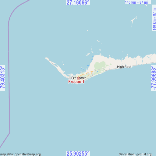
Freeport GPS coordinates[2]
26° 31' 59.988" North, 78° 42' 0" West
| Map corner | latitude | longitude |
|---|---|---|
| Upper-left | 27.16066°, | -79.40313° |
| Center: | 26.53333°, | -78.7° |
| Lower-right: | 25.90255°, | -77.99688° |
| Map W x H: | 139.9×139.9 km | = 86.9×86.9mi |
| max Lat: | 26.87137° ⇑20.8% North |
| Freeport: | 26.53333° |
| min Lat: | ⇓79.2% South 20.94982° |
| min Long | Freeport | max Long |
| -79.29721° | -78.7° | -72.96667° |
| W 8.3%⇐ | ⇒91.7% E |
Elevation
Elevation of Freeport is 6 m = 20 ft, and this is 3.5 m = 11 ft below average elevation for this country.
| Max E: |
27 m = 89 ft | 66.7% |
| Avg. | 9.5 m = 31 ft | |
| Freeport | 6 m = 20 ft | |
Min E: |
1 m = 3 ft | 33.3% |
See also: Bahamas elevation on elevation.city.
Geographical zone
Freeport is located in North temperate zone (between Tropic of Cancer and the Arctic Circle). Distance of this Northern Tropic circle is 344.3 km =213.9 mi to South.| Distance of | km | miles | from Freeport |
|---|---|---|---|
| North Pole | 7056.8 | 4384.9 | to North |
| Arctic Circle | 4450.9 | 2765.7 | to North |
| Tropic Cancer | 344.3 | 213.9 | to South |
| Equator | 2950.2 | 1833.2 | to South |


Nearby cities:
15 places around Freeport: (largest is in red/bold)
• Alice Town
107.6 km =66.9 mi,  213°
213°
• Andros Town
223.7 km =139 mi,  155°
155°
• Arthur’s Town
370.7 km =230.3 mi,  124°
124°
• Black Point
356.9 km =221.8 mi,  139°
139°
• Cooper’s Town
123.9 km =77 mi,  72°
72°
• Dunmore Town
235.9 km =146.6 mi, 119°
• Governor’s Harbour
289.8 km =180.1 mi, 121°
• Hard Bargain
115.4 km =71.7 mi,  102°
102°
• High Rock
42.8 km =26.6 mi,  78°
78°
• Lucaya
3.3 km =2.1 mi,  90°
90°
• Marsh Harbour
162.8 km =101.2 mi, 89°
• Nassau
213 km =132.4 mi, 140°
• San Andros
175.6 km =109.1 mi, 158°
• Spanish Wells
222.3 km =138.1 mi, 119°
• West End
32.4 km =20.1 mi,  301°
301°
Sources, notices
• [Note1] Compared only with cities in Bahamas existing in our database
• [Src1] Map data: © OpenStreetMap contributors (CC-BY-SA)
• [Src2] Other city data from geonames.org with taken over terms of usage.
• [Src3] Geographical zone / Annual Mean Temperature by Robert A. Rohde @ Wikipedia
