Magothla geodata
Magothla is a populated place; located in Botswana in Africa/Gaborone (GMT+2) time zone. With population of 1,174 people, there are 77 cities with bigger population in this country. Compared to other cities in Botswana, 56.2% of cities are located further ↑North; 70.5% of cities are located further ←West and 90.5% of cities have higher elevation than Magothla. Note1


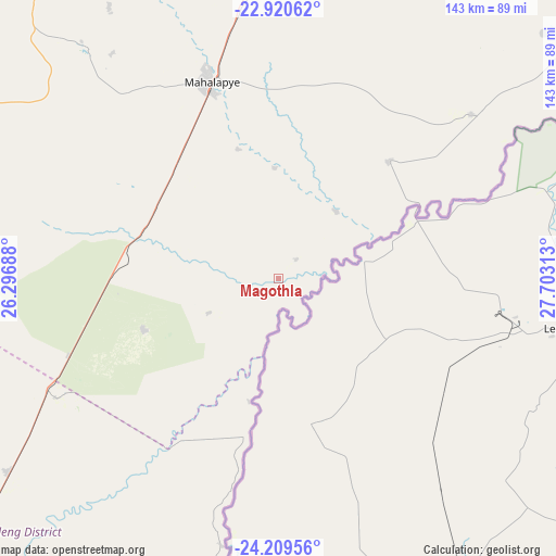
Magothla GPS coordinates[2]
23° 34' 0.012" South, 27° 0' 0" East
| Map corner | latitude | longitude |
|---|---|---|
| Upper-left | -22.92062°, | 26.29688° |
| Center: | -23.56667°, | 27° |
| Lower-right: | -24.20956°, | 27.70313° |
| Map W x H: | 143.3×143.3 km | = 89×89mi |
| max Lat: | -17.80165° ⇑56.2% North |
| Magothla: | -23.56667° |
| min Lat: | ⇓43.8% South -26.9° |
| min Long | Magothla | max Long |
| 20.06667° | 27° | 28.74946° |
| W 70.5%⇐ | ⇒29.5% E |
Elevation
Elevation of Magothla is 860 m = 2822 ft, and this is 155 m = 509 ft below average elevation for this country.
| Max E: |
1406 m = 4613 ft | 90.5% |
| Avg. | 1015 m = 3330 ft | |
| Magothla | 860 m = 2822 ft | |
Min E: |
676 m = 2218 ft | 9.5% |
See also: Botswana elevation on elevation.city.
Geographical zone
Magothla is located in South temperate zone (between Tropic of Capricorn and the Antarctic Circle). Distance of this Southern Tropic circle is 14.4 km =8.9 mi to North.| Distance of | km | miles | from Magothla |
|---|---|---|---|
| Equator | 2620.4 | 1628.2 | to North |
| Tropic Capricorn | 14.4 | 8.9 | to North |
| Antarctic Circle | 4780.8 | 2970.7 | to South |
| South Pole | 7386.7 | 4589.9 | to South |


Nearby cities:
15 places around Magothla: (largest is in red/bold)
• Bonwapitse
69.3 km =43.1 mi,  327°
327°
• Kalamare
82.9 km =51.5 mi, 328°
• Kurametsi
19.7 km =12.2 mi,  20°
20°
• Letsheng
103 km =64 mi,  12°
12°
• Maapi
96.8 km =60.1 mi, 21°
• Machaneng
65.4 km =40.6 mi,  49°
49°
• Mahalapye
54.8 km =34.1 mi,  339°
339°
• Makoba
15.1 km =9.4 mi, 52°
• Makobeng
93.1 km =57.8 mi, 47°
• Makwata
43.9 km =27.3 mi,  44°
44°
• Mathakola
99.2 km =61.6 mi, 18°
• Mookane
37.2 km =23.1 mi,  248°
248°
• Pilikwe
87.6 km =54.4 mi, 13°
• Ramokgonami
89.3 km =55.5 mi,  29°
29°
• Shakgwe
53.4 km =33.2 mi, 16°
Sources, notices
• [Note1] Compared only with cities in Botswana existing in our database
• [Src1] Map data: © OpenStreetMap contributors (CC-BY-SA)
• [Src2] Other city data from geonames.org with taken over terms of usage.
• [Src3] Geographical zone / Annual Mean Temperature by Robert A. Rohde @ Wikipedia
