Mookane geodata
Mookane (Central) is a populated place; located in Botswana in Africa/Gaborone (GMT+2) time zone. With population of 2,397 people, there are 47 cities with bigger population in this country. Compared to other cities in Botswana, 59% of cities are located further ↑North; 67.6% of cities are located further ←West and 65.7% of cities have higher elevation than Mookane. Note1


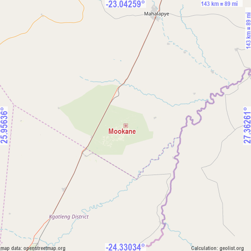
Mookane GPS coordinates[2]
23° 41' 16.98" South, 26° 39' 34.128" East
| Map corner | latitude | longitude |
|---|---|---|
| Upper-left | -23.04259°, | 25.95636° |
| Center: | -23.68805°, | 26.65948° |
| Lower-right: | -24.33034°, | 27.36261° |
| Map W x H: | 143.2×143.2 km | = 89×89mi |
| max Lat: | -17.80165° ⇑59% North |
| Mookane: | -23.68805° |
| min Lat: | ⇓41% South -26.9° |
| min Long | Mookane | max Long |
| 20.06667° | 26.65948° | 28.74946° |
| W 67.6%⇐ | ⇒32.4% E |
Elevation
Elevation of Mookane is 957 m = 3140 ft, and this is 58 m = 190 ft below average elevation for this country.
| Max E: |
1406 m = 4613 ft | 65.7% |
| Avg. | 1015 m = 3330 ft | |
| Mookane | 957 m = 3140 ft | |
Min E: |
676 m = 2218 ft | 34.3% |
See also: Botswana elevation on elevation.city.
Geographical zone
Mookane is located in South temperate zone (between Tropic of Capricorn and the Antarctic Circle). Distance of this Southern Tropic circle is 27.9 km =17.3 mi to North.| Distance of | km | miles | from Mookane |
|---|---|---|---|
| Equator | 2633.9 | 1636.6 | to North |
| Tropic Capricorn | 27.9 | 17.3 | to North |
| Antarctic Circle | 4767.3 | 2962.3 | to South |
| South Pole | 7373.2 | 4581.5 | to South |


Nearby cities:
15 places around Mookane: (largest is in red/bold)
• Boatlaname
84.7 km =52.6 mi,  276°
276°
• Bokaa
106.9 km =66.4 mi,  217°
217°
• Bonwapitse
72.2 km =44.9 mi,  358°
358°
• Kalamare
84.4 km =52.4 mi,  353°
353°
• Kurametsi
52.4 km =32.6 mi,  52°
52°
• Lenchwe Le Tau
112.8 km =70.1 mi,  226°
226°
• Machaneng
101.3 km =62.9 mi,  56°
56°
• Magothla
37.2 km =23.1 mi,  68°
68°
• Mahalapye
66.8 km =41.5 mi,  13°
13°
• Makoba
51.9 km =32.2 mi, 63°
• Makwata
79.3 km =49.3 mi, 55°
• Mmathubudukwane
104 km =64.6 mi,  192°
192°
• Mochudi
96.1 km =59.7 mi,  212°
212°
• Pilane
100.2 km =62.3 mi, 212°
• Shakgwe
81.8 km =50.8 mi,  37°
37°
Sources, notices
• [Note1] Compared only with cities in Botswana existing in our database
• [Src1] Map data: © OpenStreetMap contributors (CC-BY-SA)
• [Src2] Other city data from geonames.org with taken over terms of usage.
• [Src3] Geographical zone / Annual Mean Temperature by Robert A. Rohde @ Wikipedia
