Hlusk geodata
Hlusk (Mogilev) is a seat of a second-order administrative division; located in Belarus in Europe/Minsk (GMT+3) time zone. With population of 7,800 people, there are 107 cities with bigger population in this country. Compared to other cities in Belarus, 77.6% of cities are located further ↑North; 65.8% of cities are located further ←West and 76.3% of cities have higher elevation than Hlusk. Note1


Hlusk GPS coordinates[2]
52° 54' 10.8" North, 28° 41' 4.2" East
| Map corner | latitude | longitude |
|---|---|---|
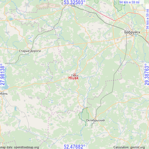
| Upper-left | 53.32503°, | 27.98138° |
| Center: | 52.903°, | 28.6845° |
| Lower-right: | 52.47682°, | 29.38763° |
| Map W x H: | 94.3×94.3 km | = 58.6×58.6mi |
| max Lat: | 56.0147° ⇑77.6% North |
| Hlusk: | 52.903° |
| min Lat: | ⇓22.4% South 51.75° |
| min Long | Hlusk | max Long |
| 23.37083° | 28.6845° | 32.578° |
| W 65.8%⇐ | ⇒34.2% E |
Elevation
Elevation of Hlusk is 144 m = 472 ft, and this is 24.6 m = 81 ft below average elevation for this country.
| Max E: |
309 m = 1014 ft | 76.3% |
| Avg. | 168.6 m = 553 ft | |
| Hlusk | 144 m = 472 ft | |
Min E: |
108 m = 354 ft | 23.7% |
See also: Belarus elevation on elevation.city.
Geographical zone
Hlusk is located in North temperate zone (between Tropic of Cancer and the Arctic Circle). Distance of this North polar circle is 1518.9 km =943.8 mi to North.| Distance of | km | miles | from Hlusk |
|---|---|---|---|
| North Pole | 4124.8 | 2563 | to North |
| Arctic Circle | 1518.9 | 943.8 | to North |
| Tropic Cancer | 3276.3 | 2035.8 | to South |
| Equator | 5882.3 | 3655.1 | to South |


Nearby cities:
15 places around Hlusk: (largest is in red/bold)
• Aktsyabrski
31.7 km =19.7 mi,  155°
155°
• Asipovichy
44.4 km =27.6 mi,  356°
356°
• Babruysk
44.4 km =27.6 mi,  53°
53°
• Hlusha
23.5 km =14.6 mi,  29°
29°
• Kirawsk
66.7 km =41.4 mi, 52°
• Lyuban’
47.1 km =29.3 mi,  255°
255°
• Myshkavichy
65.4 km =40.6 mi,  57°
57°
• Parychy
50.4 km =31.3 mi,  102°
102°
• Pukhavichy
75.5 km =46.9 mi,  337°
337°
• Sarachy
46.6 km =29 mi,  253°
253°
• Sasnovy Bor
74.9 km =46.5 mi,  124°
124°
• Staryya Darohi
31.8 km =19.8 mi,  298°
298°
• Tatarka
40 km =24.9 mi,  13°
13°
• Urechcha
53.3 km =33.1 mi,  275°
275°
• Yalizava
59.2 km =36.8 mi,  21°
21°
Sources, notices
• [Note1] Compared only with cities in Belarus existing in our database
• [Src1] Map data: © OpenStreetMap contributors (CC-BY-SA)
• [Src2] Other city data from geonames.org with taken over terms of usage.
• [Src3] Geographical zone / Annual Mean Temperature by Robert A. Rohde @ Wikipedia
