Atikokan geodata
Atikokan (Ontario) is a populated place; located in Canada in America/Atikokan (GMT-5) time zone. With population of 3,400 people, there are 578 cities with bigger population in this country. Compared to other cities in Canada, 59.9% of cities are located further ↓South; 64.3% of cities are located further →East and 77.7% of cities have lower elevation than Atikokan. Note1


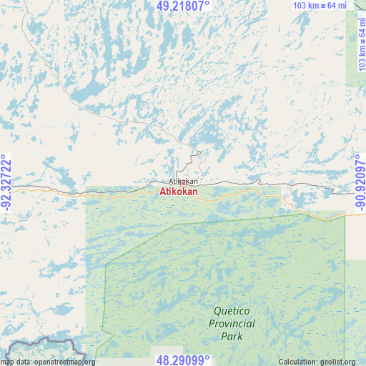
Atikokan GPS coordinates[2]
48° 45' 24.012" North, 91° 37' 26.724" West
| Map corner | latitude | longitude |
|---|---|---|
| Upper-left | 49.21807°, | -92.32722° |
| Center: | 48.75667°, | -91.62409° |
| Lower-right: | 48.29099°, | -90.92097° |
| Map W x H: | 103.1×103.1 km | = 64.1×64.1mi |
| max Lat: | 73.03752° ⇑40.1% North |
| Atikokan: | 48.75667° |
| min Lat: | ⇓59.9% South 42.05009° |
| min Long | Atikokan | max Long |
| -139.43328° | -91.62409° | -52.70931° |
| W 35.7%⇐ | ⇒64.3% E |
Elevation
Elevation of Atikokan is 390 m = 1280 ft, and this is 135.6 m = 445 ft above average elevation for this country.
| Max E: |
1518 m = 4980 ft | 22.3% |
| Atikokan | 390 m 1280 ft | |
| Avg. | 254.4 m = 835 ft | |
Min E: |
-2 m = -7 ft | 77.7% |
See also: Canada elevation on elevation.city.
Geographical zone
Atikokan is located in North temperate zone (between Tropic of Cancer and the Arctic Circle). Distance of this North polar circle is 1979.9 km =1230.3 mi to North.| Distance of | km | miles | from Atikokan |
|---|---|---|---|
| North Pole | 4585.8 | 2849.5 | to North |
| Arctic Circle | 1979.9 | 1230.3 | to North |
| Tropic Cancer | 2815.3 | 1749.3 | to South |
| Equator | 5421.2 | 3368.6 | to South |


Nearby cities:
12 places around Atikokan: (largest is in red/bold)
• Dryden
140.4 km =87.2 mi,  324°
324°
• Ear Falls
239.3 km =148.7 mi,  331°
331°
• Fort Frances
131.3 km =81.6 mi,  263°
263°
• Golden
297.3 km =184.7 mi, 329°
• Kenora
236.3 km =146.8 mi,  298°
298°
• Lappe
168.3 km =104.6 mi,  97°
97°
• Moose Lake
273.3 km =169.8 mi,  280°
280°
• Neebing
175.5 km =109.1 mi,  111°
111°
• Red Lake
296.7 km =184.4 mi, 327°
• Red Lake
298 km =185.2 mi, 329°
• Sioux Lookout
148 km =92 mi,  349°
349°
• Thunder Bay
179.6 km =111.6 mi, 103°
Sources, notices
• [Note1] Compared only with cities in Canada existing in our database
• [Src1] Map data: © OpenStreetMap contributors (CC-BY-SA)
• [Src2] Other city data from geonames.org with taken over terms of usage.
• [Src3] Geographical zone / Annual Mean Temperature by Robert A. Rohde @ Wikipedia
