Dryden geodata
Dryden (Ontario) is a populated place; located in Canada in America/Winnipeg (GMT-5) time zone. With population of 8,195 people, there are 357 cities with bigger population in this country. Compared to other cities in Canada, 73.7% of cities are located further ↓South; 64.6% of cities are located further →East and 77.6% of cities have lower elevation than Dryden. Note1


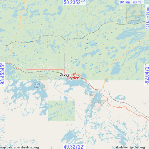
Dryden GPS coordinates[2]
49° 47' 0.024" North, 92° 45' 1.152" West
| Map corner | latitude | longitude |
|---|---|---|
| Upper-left | 50.23521°, | -93.45345° |
| Center: | 49.78334°, | -92.75032° |
| Lower-right: | 49.32722°, | -92.0472° |
| Map W x H: | 101×101 km | = 62.8×62.8mi |
| max Lat: | 73.03752° ⇑26.3% North |
| Dryden: | 49.78334° |
| min Lat: | ⇓73.7% South 42.05009° |
| min Long | Dryden | max Long |
| -139.43328° | -92.75032° | -52.70931° |
| W 35.4%⇐ | ⇒64.6% E |
Elevation
Elevation of Dryden is 387 m = 1270 ft, and this is 132.6 m = 435 ft above average elevation for this country.
| Max E: |
1518 m = 4980 ft | 22.4% |
| Dryden | 387 m 1270 ft | |
| Avg. | 254.4 m = 835 ft | |
Min E: |
-2 m = -7 ft | 77.6% |
See also: Canada elevation on elevation.city.
Geographical zone
Dryden is located in North temperate zone (between Tropic of Cancer and the Arctic Circle). Distance of this North polar circle is 1865.8 km =1159.4 mi to North.| Distance of | km | miles | from Dryden |
|---|---|---|---|
| North Pole | 4471.7 | 2778.6 | to North |
| Arctic Circle | 1865.8 | 1159.4 | to North |
| Tropic Cancer | 2929.5 | 1820.3 | to South |
| Equator | 5535.4 | 3439.5 | to South |


Nearby cities:
15 places around Dryden: (largest is in red/bold)
• Atikokan
140.4 km =87.2 mi,  144°
144°
• Beausejour
271.4 km =168.6 mi,  276°
276°
• Ear Falls
101.3 km =62.9 mi,  340°
340°
• Fort Frances
138 km =85.7 mi,  200°
200°
• Golden
158.1 km =98.2 mi,  333°
333°
• Kenora
124.9 km =77.6 mi,  269°
269°
• La Broquerie
271.6 km =168.8 mi,  263°
263°
• Lac du Bonnet
242.2 km =150.5 mi, 282°
• Lappe
281.7 km =175 mi,  118°
118°
• Moose Lake
195.4 km =121.4 mi,  250°
250°
• Pine Falls
261.8 km =162.7 mi,  289°
289°
• Powerview
260.5 km =161.9 mi, 289°
• Red Lake
157 km =97.6 mi, 330°
• Red Lake
158.8 km =98.7 mi, 333°
• Sioux Lookout
63.3 km =39.3 mi,  60°
60°
Sources, notices
• [Note1] Compared only with cities in Canada existing in our database
• [Src1] Map data: © OpenStreetMap contributors (CC-BY-SA)
• [Src2] Other city data from geonames.org with taken over terms of usage.
• [Src3] Geographical zone / Annual Mean Temperature by Robert A. Rohde @ Wikipedia
