Fort Frances geodata
Fort Frances (Ontario) is a populated place; located in Canada in America/Winnipeg (GMT-5) time zone. With population of 7,931 people, there are 369 cities with bigger population in this country. Compared to other cities in Canada, 59.1% of cities are located further ↓South; 64.7% of cities are located further →East and 73.4% of cities have lower elevation than Fort Frances. Note1


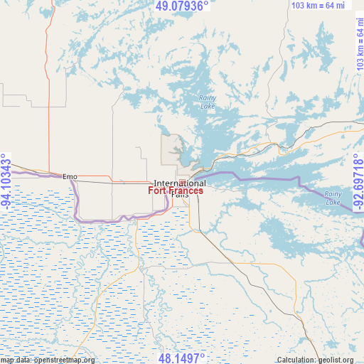
Fort Frances GPS coordinates[2]
48° 37' 0.012" North, 93° 24' 1.08" West
| Map corner | latitude | longitude |
|---|---|---|
| Upper-left | 49.07936°, | -94.10343° |
| Center: | 48.61667°, | -93.4003° |
| Lower-right: | 48.1497°, | -92.69718° |
| Map W x H: | 103.4×103.4 km | = 64.2×64.2mi |
| max Lat: | 73.03752° ⇑40.9% North |
| Fort Frances: | 48.61667° |
| min Lat: | ⇓59.1% South 42.05009° |
| min Long | Fort Frances | max Long |
| -139.43328° | -93.4003° | -52.70931° |
| W 35.3%⇐ | ⇒64.7% E |
Elevation
Elevation of Fort Frances is 340 m = 1115 ft, and this is 85.6 m = 281 ft above average elevation for this country.
| Max E: |
1518 m = 4980 ft | 26.6% |
| Fort Frances | 340 m 1115 ft | |
| Avg. | 254.4 m = 835 ft | |
Min E: |
-2 m = -7 ft | 73.4% |
See also: Canada elevation on elevation.city.
Geographical zone
Fort Frances is located in North temperate zone (between Tropic of Cancer and the Arctic Circle). Distance of this North polar circle is 1995.5 km =1239.9 mi to North.| Distance of | km | miles | from Fort Frances |
|---|---|---|---|
| North Pole | 4601.4 | 2859.2 | to North |
| Arctic Circle | 1995.5 | 1239.9 | to North |
| Tropic Cancer | 2799.7 | 1739.7 | to South |
| Equator | 5405.7 | 3358.9 | to South |


Nearby cities:
15 places around Fort Frances: (largest is in red/bold)
• Atikokan
131.3 km =81.6 mi,  83°
83°
• Beausejour
277.1 km =172.2 mi,  305°
305°
• Dryden
138 km =85.7 mi,  20°
20°
• Ear Falls
225.2 km =139.9 mi,  3°
3°
• Golden
272.6 km =169.4 mi,  354°
354°
• Grunthal
267.1 km =166 mi,  289°
289°
• Kenora
150.5 km =93.5 mi,  328°
328°
• La Broquerie
247 km =153.5 mi, 293°
• Lac du Bonnet
264.8 km =164.5 mi, 313°
• Landmark
275.1 km =170.9 mi,  295°
295°
• Moose Lake
153.9 km =95.6 mi, 295°
• Red Lake
268.6 km =166.9 mi, 353°
• Red Lake
273.5 km =169.9 mi, 354°
• Sioux Lookout
191.1 km =118.7 mi,  32°
32°
• Steinbach
259.7 km =161.4 mi, 292°
Sources, notices
• [Note1] Compared only with cities in Canada existing in our database
• [Src1] Map data: © OpenStreetMap contributors (CC-BY-SA)
• [Src2] Other city data from geonames.org with taken over terms of usage.
• [Src3] Geographical zone / Annual Mean Temperature by Robert A. Rohde @ Wikipedia
