Dashwood geodata
Dashwood (British Columbia) is a populated place; located in Canada in America/Vancouver (GMT-7) time zone. With population of 982 people, there are 1048 cities with bigger population in this country. Compared to other cities in Canada, 68.8% of cities are located further ↓South; 97.2% of cities are located further →East and 65.4% of cities have higher elevation than Dashwood. Note1


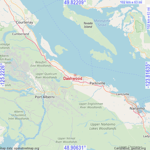
Dashwood GPS coordinates[2]
49° 21' 58.788" North, 124° 31' 10.092" West
| Map corner | latitude | longitude |
|---|---|---|
| Upper-left | 49.82209°, | -125.2226° |
| Center: | 49.36633°, | -124.51947° |
| Lower-right: | 48.90631°, | -123.81635° |
| Map W x H: | 101.8×101.8 km | = 63.3×63.3mi |
| max Lat: | 73.03752° ⇑31.2% North |
| Dashwood: | 49.36633° |
| min Lat: | ⇓68.8% South 42.05009° |
| min Long | Dashwood | max Long |
| -139.43328° | -124.51947° | -52.70931° |
| W 2.8%⇐ | ⇒97.2% E |
Elevation
Elevation of Dashwood is 74 m = 243 ft, and this is 180.4 m = 592 ft below average elevation for this country.
| Max E: |
1518 m = 4980 ft | 65.4% |
| Avg. | 254.4 m = 835 ft | |
| Dashwood | 74 m = 243 ft | |
Min E: |
-2 m = -7 ft | 34.6% |
See also: Canada elevation on elevation.city.
Geographical zone
Dashwood is located in North temperate zone (between Tropic of Cancer and the Arctic Circle). Distance of this North polar circle is 1912.2 km =1188.2 mi to North.| Distance of | km | miles | from Dashwood |
|---|---|---|---|
| North Pole | 4518 | 2807.4 | to North |
| Arctic Circle | 1912.2 | 1188.2 | to North |
| Tropic Cancer | 2883.1 | 1791.5 | to South |
| Equator | 5489 | 3410.7 | to South |


Nearby cities:
15 places around Dashwood: (largest is in red/bold)
• Coombs
10.4 km =6.5 mi,  135°
135°
• Cumberland
46.5 km =28.9 mi,  306°
306°
• Denman Island
28.5 km =17.7 mi, 310°
• Denman Island Trust Area
28.9 km =18 mi,  315°
315°
• East Wellington
42.2 km =26.2 mi,  120°
120°
• Englishman River South
19.6 km =12.2 mi, 118°
• Fairwinds
30.1 km =18.7 mi,  109°
109°
• French Creek
12.2 km =7.6 mi,  103°
103°
• Hornby Island
21.6 km =13.4 mi,  329°
329°
• Nanaimo
47.6 km =29.6 mi, 117°
• Parksville
15.7 km =9.8 mi, 109°
• Port Alberni
24.8 km =15.4 mi,  235°
235°
• Royston
43.9 km =27.3 mi, 315°
• South Pender Harbour
45.7 km =28.4 mi,  51°
51°
• Welcome Beach
47.1 km =29.3 mi,  74°
74°
Sources, notices
• [Note1] Compared only with cities in Canada existing in our database
• [Src1] Map data: © OpenStreetMap contributors (CC-BY-SA)
• [Src2] Other city data from geonames.org with taken over terms of usage.
• [Src3] Geographical zone / Annual Mean Temperature by Robert A. Rohde @ Wikipedia
