Fort McMurray geodata
Fort McMurray (Alberta) is a populated place; located in Canada in America/Edmonton (GMT-6) time zone. With population of 76,000 people, there are 71 cities with bigger population in this country. Compared to other cities in Canada, 97.3% of cities are located further ↓South; 75.9% of cities are located further →East and 65.4% of cities have lower elevation than Fort McMurray. Note1


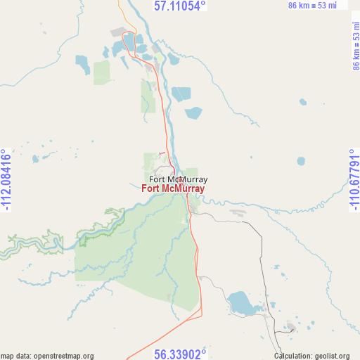
Fort McMurray GPS coordinates[2]
56° 43' 36.336" North, 111° 22' 51.708" West
| Map corner | latitude | longitude |
|---|---|---|
| Upper-left | 57.11054°, | -112.08416° |
| Center: | 56.72676°, | -111.38103° |
| Lower-right: | 56.33902°, | -110.67791° |
| Map W x H: | 85.8×85.8 km | = 53.3×53.3mi |
| max Lat: | 73.03752° ⇑2.7% North |
| Fort McMurray: | 56.72676° |
| min Lat: | ⇓97.3% South 42.05009° |
| min Long | Fort McMurray | max Long |
| -139.43328° | -111.38103° | -52.70931° |
| W 24.1%⇐ | ⇒75.9% E |
Elevation
Elevation of Fort McMurray is 258 m = 846 ft, and this is 3.6 m = 12 ft above average elevation for this country.
| Max E: |
1518 m = 4980 ft | 34.6% |
| Fort McMurray | 258 m 846 ft | |
| Avg. | 254.4 m = 835 ft | |
Min E: |
-2 m = -7 ft | 65.4% |
See also: Fort McMurray elevation on elevation.city.
Geographical zone
Fort McMurray is located in North temperate zone (between Tropic of Cancer and the Arctic Circle). Distance of this North polar circle is 1093.7 km =679.6 mi to North.| Distance of | km | miles | from Fort McMurray |
|---|---|---|---|
| North Pole | 3699.6 | 2298.8 | to North |
| Arctic Circle | 1093.7 | 679.6 | to North |
| Tropic Cancer | 3701.5 | 2300 | to South |
| Equator | 6307.4 | 3919.2 | to South |


Nearby cities:
15 places around Fort McMurray: (largest is in red/bold)
• Athabasca
253.3 km =157.4 mi,  208°
208°
• Bonnyville
276.5 km =171.8 mi,  171°
171°
• Cold Lake
262.5 km =163.1 mi,  163°
163°
• Elk Point
315.7 km =196.2 mi, 174°
• Gibbons
344.7 km =214.2 mi,  201°
201°
• Grand Centre
267.2 km =166 mi, 164°
• Lac La Biche
221 km =137.3 mi,  189°
189°
• Lamont
341.2 km =212 mi, 195°
• Meadow Lake
343 km =213.1 mi,  147°
147°
• Saprae Creek
16.8 km =10.4 mi,  119°
119°
• Slave Lake
264.7 km =164.5 mi,  232°
232°
• Smoky Lake
298.2 km =185.3 mi, 193°
• St. Paul
305.1 km =189.6 mi,  178°
178°
• Two Hills
335.5 km =208.5 mi, 184°
• Westlock
326.6 km =202.9 mi, 208°
Sources, notices
• [Note1] Compared only with cities in Canada existing in our database
• [Src1] Map data: © OpenStreetMap contributors (CC-BY-SA)
• [Src2] Other city data from geonames.org with taken over terms of usage.
• [Src3] Geographical zone / Annual Mean Temperature by Robert A. Rohde @ Wikipedia
