Sechelt geodata
Sechelt (British Columbia) is a populated place; located in Canada in America/Vancouver (GMT-7) time zone. With population of 8,832 people, there are 341 cities with bigger population in this country. Compared to other cities in Canada, 69.8% of cities are located further ↓South; 95.7% of cities are located further →East and 93.8% of cities have higher elevation than Sechelt. Note1
Administrative division(s):
- Level 1: British Columbia
- Level 2: Sunshine Coast Regional District
- Level 3: Sechelt


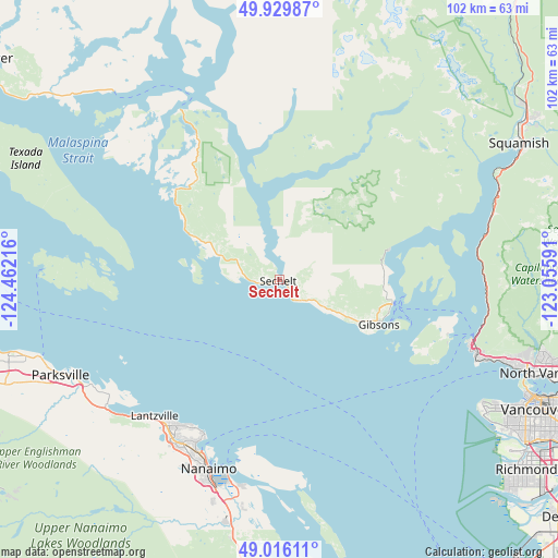
Sechelt GPS coordinates[2]
49° 28' 30.432" North, 123° 45' 32.508" West
| Map corner | latitude | longitude |
|---|---|---|
| Upper-left | 49.92987°, | -124.46216° |
| Center: | 49.47512°, | -123.75903° |
| Lower-right: | 49.01611°, | -123.05591° |
| Map W x H: | 101.6×101.6 km | = 63.1×63.1mi |
| max Lat: | 73.03752° ⇑30.2% North |
| Sechelt: | 49.47512° |
| min Lat: | ⇓69.8% South 42.05009° |
| min Long | Sechelt | max Long |
| -139.43328° | -123.75903° | -52.70931° |
| W 4.3%⇐ | ⇒95.7% E |
Elevation
Elevation of Sechelt is 10 m = 33 ft, and this is 244.4 m = 802 ft below average elevation for this country.
| Max E: |
1518 m = 4980 ft | 93.8% |
| Avg. | 254.4 m = 835 ft | |
| Sechelt | 10 m = 33 ft | |
Min E: |
-2 m = -7 ft | 6.2% |
See also: Canada elevation on elevation.city.
Geographical zone
Sechelt is located in North temperate zone (between Tropic of Cancer and the Arctic Circle). Distance of this North polar circle is 1900.1 km =1180.7 mi to North.| Distance of | km | miles | from Sechelt |
|---|---|---|---|
| North Pole | 4505.9 | 2799.8 | to North |
| Arctic Circle | 1900.1 | 1180.7 | to North |
| Tropic Cancer | 2895.2 | 1799 | to South |
| Equator | 5501.1 | 3418.2 | to South |


Nearby cities:
15 places around Sechelt: (largest is in red/bold)
• Bowen Island
32.2 km =20 mi,  108°
108°
• Cassidy
48.2 km =30 mi,  191°
191°
• Cedar
40.5 km =25.2 mi, 189°
• East Wellington
38.4 km =23.9 mi,  209°
209°
• Englishman River South
43.5 km =27 mi,  240°
240°
• Fairwinds
34.7 km =21.6 mi,  230°
230°
• French Creek
45.6 km =28.3 mi,  250°
250°
• Gibsons
20.4 km =12.7 mi,  115°
115°
• Lions Bay
37.8 km =23.5 mi,  93°
93°
• Nanaimo
36.7 km =22.8 mi,  200°
200°
• North Oyster/Yellow Point
47.8 km =29.7 mi, 186°
• Parksville
43.8 km =27.2 mi, 246°
• South Pender Harbour
25.2 km =15.7 mi,  310°
310°
• Welcome Beach
9.6 km =6 mi,  272°
272°
• West Vancouver
44.5 km =27.7 mi, 105°
Sources, notices
• [Note1] Compared only with cities in Canada existing in our database
• [Src1] Map data: © OpenStreetMap contributors (CC-BY-SA)
• [Src2] Other city data from geonames.org with taken over terms of usage.
• [Src3] Geographical zone / Annual Mean Temperature by Robert A. Rohde @ Wikipedia
