Summerland geodata
Summerland (British Columbia) is a populated place; located in Canada in America/Vancouver (GMT-7) time zone. With population of 6,292 people, there are 421 cities with bigger population in this country. Compared to other cities in Canada, 71% of cities are located further ↓South; 89% of cities are located further →East and 80.6% of cities have lower elevation than Summerland. Note1
Administrative division(s):
- Level 1: British Columbia
- Level 2: Regional District of Okanagan-Similkameen
- Level 3: Summerland


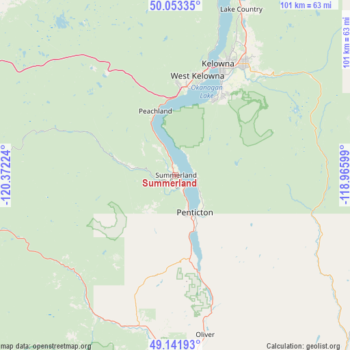
Summerland GPS coordinates[2]
49° 35' 59.172" North, 119° 40' 8.796" West
| Map corner | latitude | longitude |
|---|---|---|
| Upper-left | 50.05335°, | -120.37224° |
| Center: | 49.59977°, | -119.66911° |
| Lower-right: | 49.14193°, | -118.96599° |
| Map W x H: | 101.3×101.3 km | = 62.9×62.9mi |
| max Lat: | 73.03752° ⇑29% North |
| Summerland: | 49.59977° |
| min Lat: | ⇓71% South 42.05009° |
| min Long | Summerland | max Long |
| -139.43328° | -119.66911° | -52.70931° |
| W 11%⇐ | ⇒89% E |
Elevation
Elevation of Summerland is 475 m = 1558 ft, and this is 220.6 m = 724 ft above average elevation for this country.
| Max E: |
1518 m = 4980 ft | 19.4% |
| Summerland | 475 m 1558 ft | |
| Avg. | 254.4 m = 835 ft | |
Min E: |
-2 m = -7 ft | 80.6% |
See also: Canada elevation on elevation.city.
Geographical zone
Summerland is located in North temperate zone (between Tropic of Cancer and the Arctic Circle). Distance of this North polar circle is 1886.2 km =1172 mi to North.| Distance of | km | miles | from Summerland |
|---|---|---|---|
| North Pole | 4492.1 | 2791.3 | to North |
| Arctic Circle | 1886.2 | 1172 | to North |
| Tropic Cancer | 2909.1 | 1807.6 | to South |
| Equator | 5515 | 3426.9 | to South |


Nearby cities:
15 places around Summerland: (largest is in red/bold)
• Armstrong
100.2 km =62.3 mi,  19°
19°
• Duck Lake
49.5 km =30.8 mi, 23°
• Ellison
42.9 km =26.7 mi,  30°
30°
• Kelowna
34.1 km =21.2 mi, 22°
• Lumby
87.9 km =54.6 mi, 34°
• Merritt
98.7 km =61.3 mi,  305°
305°
• Okanagan
88 km =54.7 mi, 15°
• Okanagan Falls
28.7 km =17.8 mi,  165°
165°
• Oliver
47.1 km =29.3 mi, 169°
• Osoyoos
64.9 km =40.3 mi, 166°
• Peachland
19.1 km =11.9 mi,  345°
345°
• Penticton
14.5 km =9 mi,  155°
155°
• Princeton
62.8 km =39 mi,  255°
255°
• Vernon
79.4 km =49.3 mi, 20°
• West Kelowna
29.9 km =18.6 mi,  11°
11°
Sources, notices
• [Note1] Compared only with cities in Canada existing in our database
• [Src1] Map data: © OpenStreetMap contributors (CC-BY-SA)
• [Src2] Other city data from geonames.org with taken over terms of usage.
• [Src3] Geographical zone / Annual Mean Temperature by Robert A. Rohde @ Wikipedia
