Osoyoos geodata
Osoyoos (British Columbia) is a populated place; located in Canada in America/Vancouver (GMT-7) time zone. With population of 4,520 people, there are 499 cities with bigger population in this country. Compared to other cities in Canada, 62.2% of cities are located further ↓South; 88.3% of cities are located further →East and 67.8% of cities have lower elevation than Osoyoos. Note1


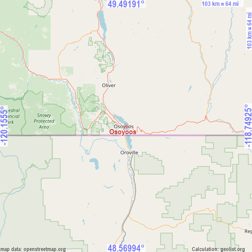
Osoyoos GPS coordinates[2]
49° 1' 59.016" North, 119° 27' 8.532" West
| Map corner | latitude | longitude |
|---|---|---|
| Upper-left | 49.49191°, | -120.1555° |
| Center: | 49.03306°, | -119.45237° |
| Lower-right: | 48.56994°, | -118.74925° |
| Map W x H: | 102.5×102.5 km | = 63.7×63.7mi |
| max Lat: | 73.03752° ⇑37.8% North |
| Osoyoos: | 49.03306° |
| min Lat: | ⇓62.2% South 42.05009° |
| min Long | Osoyoos | max Long |
| -139.43328° | -119.45237° | -52.70931° |
| W 11.7%⇐ | ⇒88.3% E |
Elevation
Elevation of Osoyoos is 277 m = 909 ft, and this is 22.6 m = 74 ft above average elevation for this country.
| Max E: |
1518 m = 4980 ft | 32.2% |
| Osoyoos | 277 m 909 ft | |
| Avg. | 254.4 m = 835 ft | |
Min E: |
-2 m = -7 ft | 67.8% |
See also: Canada elevation on elevation.city.
Geographical zone
Osoyoos is located in North temperate zone (between Tropic of Cancer and the Arctic Circle). Distance of this North polar circle is 1949.2 km =1211.2 mi to North.| Distance of | km | miles | from Osoyoos |
|---|---|---|---|
| North Pole | 4555.1 | 2830.4 | to North |
| Arctic Circle | 1949.2 | 1211.2 | to North |
| Tropic Cancer | 2846 | 1768.4 | to South |
| Equator | 5452 | 3387.7 | to South |


Nearby cities:
15 places around Osoyoos: (largest is in red/bold)
• Castlegar
134.3 km =83.5 mi,  76°
76°
• Duck Lake
108.6 km =67.5 mi,  2°
2°
• Ellison
100.3 km =62.3 mi, 3°
• Grand Forks
74.1 km =46 mi,  89°
89°
• Kelowna
94.5 km =58.7 mi,  358°
358°
• Okanagan Falls
36.2 km =22.5 mi,  346°
346°
• Oliver
18.2 km =11.3 mi,  336°
336°
• Peachland
84.1 km =52.3 mi, 345°
• Penticton
50.7 km =31.5 mi, 348°
• Princeton
90.2 km =56 mi,  301°
301°
• Rossland
120.4 km =74.8 mi, 87°
• Sion
70 km =43.5 mi, 91°
• Summerland
64.9 km =40.3 mi, 346°
• Trail
127.7 km =79.3 mi, 86°
• West Kelowna
92.7 km =57.6 mi, 354°
Sources, notices
• [Note1] Compared only with cities in Canada existing in our database
• [Src1] Map data: © OpenStreetMap contributors (CC-BY-SA)
• [Src2] Other city data from geonames.org with taken over terms of usage.
• [Src3] Geographical zone / Annual Mean Temperature by Robert A. Rohde @ Wikipedia
