Petit-Rocher-Nord geodata
Petit-Rocher-Nord (New Brunswick) is a populated locality; located in Canada in America/Moncton (GMT-3) time zone. With population of 572 people, there are 1156 cities with bigger population in this country. Compared to other cities in Canada, 53.3% of cities are located further ↓South; 88.8% of cities are located further ←West and 96% of cities have higher elevation than Petit-Rocher-Nord. Note1


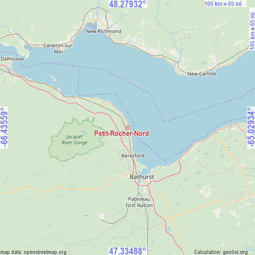
Petit-Rocher-Nord GPS coordinates[2]
47° 48' 33.3" North, 65° 43' 56.856" West
| Map corner | latitude | longitude |
|---|---|---|
| Upper-left | 48.27932°, | -66.43559° |
| Center: | 47.80925°, | -65.73246° |
| Lower-right: | 47.33488°, | -65.02934° |
| Map W x H: | 105×105 km | = 65.2×65.2mi |
| max Lat: | 73.03752° ⇑46.7% North |
| Petit-Rocher-Nord: | 47.80925° |
| min Lat: | ⇓53.3% South 42.05009° |
| min Long | Petit-Rocher-No | max Long |
| -139.43328° | -65.73246° | -52.70931° |
| W 88.8%⇐ | ⇒11.2% E |
Elevation
Elevation of Petit-Rocher-Nord is 7 m = 23 ft, and this is 247.4 m = 812 ft below average elevation for this country.
| Max E: |
1518 m = 4980 ft | 96% |
| Avg. | 254.4 m = 835 ft | |
| Petit-Rocher-Nord | 7 m = 23 ft | |
Min E: |
-2 m = -7 ft | 4% |
See also: Canada elevation on elevation.city.
Geographical zone
Petit-Rocher-Nord is located in North temperate zone (between Tropic of Cancer and the Arctic Circle). Distance of this North polar circle is 2085.3 km =1295.7 mi to North.| Distance of | km | miles | from Petit-Rocher-Nord |
|---|---|---|---|
| North Pole | 4691.2 | 2915 | to North |
| Arctic Circle | 2085.3 | 1295.7 | to North |
| Tropic Cancer | 2710 | 1683.9 | to South |
| Equator | 5315.9 | 3303.1 | to South |


Nearby cities:
15 places around Petit-Rocher-Nord: (largest is in red/bold)
• Bathurst
22.1 km =13.7 mi,  164°
164°
• Bonaventure
31.8 km =19.8 mi,  34°
34°
• Carleton
42.2 km =26.2 mi,  319°
319°
• Carleton-sur-Mer
44.4 km =27.6 mi, 318°
• Dunlop
13.6 km =8.5 mi,  180°
180°
• Haut-Sheila
61.7 km =38.3 mi,  96°
96°
• Lorne
30.3 km =18.8 mi,  283°
283°
• Maisonnette
54.8 km =34.1 mi,  88°
88°
• Maria
44.8 km =27.8 mi,  335°
335°
• New Carlisle
37 km =23 mi,  52°
52°
• New-Richmond
40.2 km =25 mi,  346°
346°
• Nicholas Denys
16.5 km =10.3 mi,  221°
221°
• North Tetagouche
19.4 km =12.1 mi,  185°
185°
• Robertville
12.9 km =8 mi, 193°
• Saint-Sauveur
46.6 km =29 mi,  131°
131°
Sources, notices
• [Note1] Compared only with cities in Canada existing in our database
• [Src1] Map data: © OpenStreetMap contributors (CC-BY-SA)
• [Src2] Other city data from geonames.org with taken over terms of usage.
• [Src3] Geographical zone / Annual Mean Temperature by Robert A. Rohde @ Wikipedia
