Carleton geodata
Carleton (Quebec) is a populated locality; located in Canada in America/Toronto (GMT-4) time zone. With population of 1,101 people, there are 1002 cities with bigger population in this country. Compared to other cities in Canada, 54.6% of cities are located further ↓South; 87.8% of cities are located further ←West and 94.5% of cities have higher elevation than Carleton. Note1
Administrative division(s):
- Level 1: Quebec
- Level 2: Gaspésie-Îles-de-la-Madeleine
- Level 3: Carleton-sur-Mer


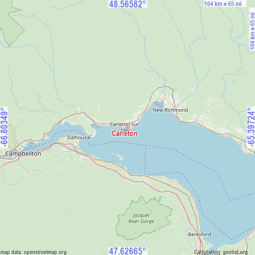
Carleton GPS coordinates[2]
48° 5' 54.168" North, 66° 6' 1.296" West
| Map corner | latitude | longitude |
|---|---|---|
| Upper-left | 48.56582°, | -66.80349° |
| Center: | 48.09838°, | -66.10036° |
| Lower-right: | 47.62665°, | -65.39724° |
| Map W x H: | 104.4×104.4 km | = 64.9×64.9mi |
| max Lat: | 73.03752° ⇑45.4% North |
| Carleton: | 48.09838° |
| min Lat: | ⇓54.6% South 42.05009° |
| min Long | Carleton | max Long |
| -139.43328° | -66.10036° | -52.70931° |
| W 87.8%⇐ | ⇒12.2% E |
Elevation
Elevation of Carleton is 9 m = 30 ft, and this is 245.4 m = 805 ft below average elevation for this country.
| Max E: |
1518 m = 4980 ft | 94.5% |
| Avg. | 254.4 m = 835 ft | |
| Carleton | 9 m = 30 ft | |
Min E: |
-2 m = -7 ft | 5.5% |
See also: Canada elevation on elevation.city.
Geographical zone
Carleton is located in North temperate zone (between Tropic of Cancer and the Arctic Circle). Distance of this North polar circle is 2053.1 km =1275.7 mi to North.| Distance of | km | miles | from Carleton |
|---|---|---|---|
| North Pole | 4659 | 2895 | to North |
| Arctic Circle | 2053.1 | 1275.7 | to North |
| Tropic Cancer | 2742.1 | 1703.9 | to South |
| Equator | 5348 | 3323.1 | to South |


Nearby cities:
15 places around Carleton: (largest is in red/bold)
• Bathurst
63 km =39.1 mi,  147°
147°
• Bonaventure
45.5 km =28.3 mi,  97°
97°
• Campbellton
43.7 km =27.2 mi,  256°
256°
• Carleton-sur-Mer
2.3 km =1.4 mi,  296°
296°
• Dunlop
53.3 km =33.1 mi, 149°
• Lorne
25 km =15.5 mi,  184°
184°
• Maisonnette
87.6 km =54.4 mi,  110°
110°
• Maria
12 km =7.5 mi,  44°
44°
• New Carlisle
57.6 km =35.8 mi, 99°
• New-Richmond
19.3 km =12 mi,  68°
68°
• Nicholas Denys
47.4 km =29.5 mi,  159°
159°
• North Tetagouche
57.4 km =35.7 mi, 153°
• Petit-Rocher-Nord
42.2 km =26.2 mi,  139°
139°
• Robertville
50.9 km =31.6 mi, 151°
• Saint-Sauveur
88.6 km =55.1 mi, 135°
Sources, notices
• [Note1] Compared only with cities in Canada existing in our database
• [Src1] Map data: © OpenStreetMap contributors (CC-BY-SA)
• [Src2] Other city data from geonames.org with taken over terms of usage.
• [Src3] Geographical zone / Annual Mean Temperature by Robert A. Rohde @ Wikipedia
