Fair Isle geodata
Fair Isle (New Brunswick) is a populated place; located in Canada in America/Moncton (GMT-3) time zone. With population of 936 people, there are 1070 cities with bigger population in this country. Compared to other cities in Canada, 50.7% of cities are located further ↑North; 89.6% of cities are located further ←West and 73.7% of cities have higher elevation than Fair Isle. Note1


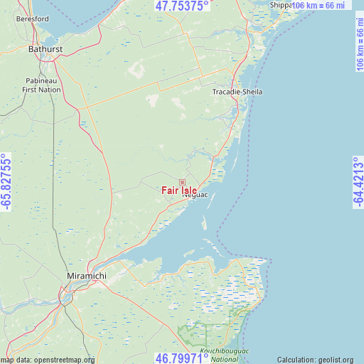
Fair Isle GPS coordinates[2]
47° 16' 43.968" North, 65° 7' 27.912" West
| Map corner | latitude | longitude |
|---|---|---|
| Upper-left | 47.75375°, | -65.82755° |
| Center: | 47.27888°, | -65.12442° |
| Lower-right: | 46.79971°, | -64.4213° |
| Map W x H: | 106.1×106.1 km | = 65.9×65.9mi |
| max Lat: | 73.03752° ⇑50.7% North |
| Fair Isle: | 47.27888° |
| min Lat: | ⇓49.3% South 42.05009° |
| min Long | Fair Isle | max Long |
| -139.43328° | -65.12442° | -52.70931° |
| W 89.6%⇐ | ⇒10.4% E |
Elevation
Elevation of Fair Isle is 47 m = 154 ft, and this is 207.4 m = 680 ft below average elevation for this country.
| Max E: |
1518 m = 4980 ft | 73.7% |
| Avg. | 254.4 m = 835 ft | |
| Fair Isle | 47 m = 154 ft | |
Min E: |
-2 m = -7 ft | 26.3% |
See also: Canada elevation on elevation.city.
Geographical zone
Fair Isle is located in North temperate zone (between Tropic of Cancer and the Arctic Circle). Distance of this North polar circle is 2144.3 km =1332.4 mi to North.| Distance of | km | miles | from Fair Isle |
|---|---|---|---|
| North Pole | 4750.1 | 2951.6 | to North |
| Arctic Circle | 2144.3 | 1332.4 | to North |
| Tropic Cancer | 2651 | 1647.3 | to South |
| Equator | 5256.9 | 3266.5 | to South |


Nearby cities:
15 places around Fair Isle: (largest is in red/bold)
• Baie Ste. Anne
28.3 km =17.6 mi,  152°
152°
• Bathurst
54.7 km =34 mi,  313°
313°
• Brantville
15.3 km =9.5 mi,  48°
48°
• Haut-Sheila
54.4 km =33.8 mi,  17°
17°
• Leech
22.2 km =13.8 mi,  28°
28°
• Maisonnette
61.3 km =38.1 mi,  8°
8°
• Miramichi
39.8 km =24.7 mi,  225°
225°
• North Tetagouche
62 km =38.5 mi, 309°
• Saint Irénée and Alderwood
26.6 km =16.5 mi, 22°
• Saint-Sauveur
29.9 km =18.6 mi,  338°
338°
• Saint-Simon
55.2 km =34.3 mi, 22°
• Saumarez
28.3 km =17.6 mi, 29°
• Shippagan
60.5 km =37.6 mi, 31°
• Tabusintac
10.1 km =6.3 mi,  57°
57°
• Tracadie-Sheila
30.5 km =19 mi, 30°
Sources, notices
• [Note1] Compared only with cities in Canada existing in our database
• [Src1] Map data: © OpenStreetMap contributors (CC-BY-SA)
• [Src2] Other city data from geonames.org with taken over terms of usage.
• [Src3] Geographical zone / Annual Mean Temperature by Robert A. Rohde @ Wikipedia
