Wegenstetten geodata
Wegenstetten (Aargau) is a populated place; located in Switzerland in Europe/Zurich (GMT+2) time zone. With population of 1,080 people, there are 1274 cities with bigger population in this country. Compared to other cities in Switzerland, 88.8% of cities are located further ↓South; 61.8% of cities are located further →East and 72.7% of cities have higher elevation than Wegenstetten. Note1


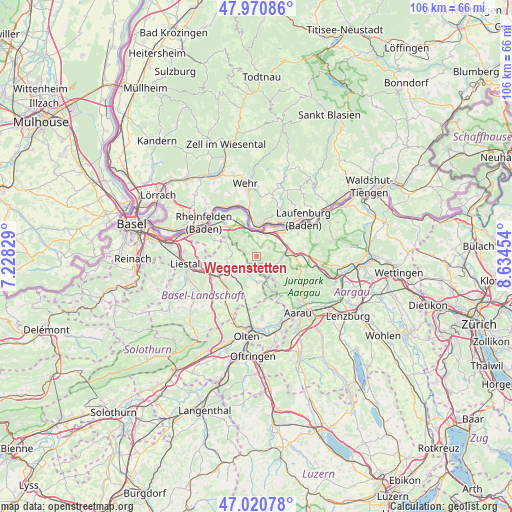
Wegenstetten GPS coordinates[2]
47° 29' 52.692" North, 7° 55' 53.076" East
| Map corner | latitude | longitude |
|---|---|---|
| Upper-left | 47.97086°, | 7.22829° |
| Center: | 47.49797°, | 7.93141° |
| Lower-right: | 47.02078°, | 8.63454° |
| Map W x H: | 105.6×105.6 km | = 65.6×65.6mi |
| max Lat: | 47.76737° ⇑11.2% North |
| Wegenstetten: | 47.49797° |
| min Lat: | ⇓88.8% South 45.83203° |
| min Long | Wegenstetten | max Long |
| 5.97153° | 7.93141° | 10.44624° |
| W 38.2%⇐ | ⇒61.8% E |
Elevation
Elevation of Wegenstetten is 435 m = 1427 ft, and this is 123.2 m = 404 ft below average elevation for this country.
| Max E: |
1845 m = 6053 ft | 72.7% |
| Avg. | 558.2 m = 1831 ft | |
| Wegenstetten | 435 m = 1427 ft | |
Min E: |
197 m = 646 ft | 27.3% |
See also: Switzerland elevation on elevation.city.
Geographical zone
Wegenstetten is located in North temperate zone (between Tropic of Cancer and the Arctic Circle). Distance of this North polar circle is 2119.9 km =1317.2 mi to North.| Distance of | km | miles | from Wegenstetten |
|---|---|---|---|
| North Pole | 4725.8 | 2936.5 | to North |
| Arctic Circle | 2119.9 | 1317.2 | to North |
| Tropic Cancer | 2675.4 | 1662.4 | to South |
| Equator | 5281.3 | 3281.6 | to South |


Nearby cities:
15 places around Wegenstetten: (largest is in red/bold)
• Buus
5.1 km =3.2 mi,  280°
280°
• Eiken
5.8 km =3.6 mi,  47°
47°
• Frick
7.2 km =4.5 mi,  77°
77°
• Gelterkinden
7 km =4.3 mi,  238°
238°
• Gipf-Oberfrick
5.5 km =3.4 mi,  89°
89°
• Maisprach
7.1 km =4.4 mi,  294°
294°
• Mumpf
5.4 km =3.4 mi,  351°
351°
• Oberhof
7.7 km =4.8 mi,  135°
135°
• Ormalingen
5.5 km =3.4 mi,  234°
234°
• Rünenberg
8.1 km =5 mi,  207°
207°
• Stein
5.4 km =3.4 mi,  17°
17°
• Tecknau
6.5 km =4 mi, 212°
• Wittnau
3.8 km =2.4 mi,  118°
118°
• Wölflinswil
6.5 km =4 mi,  129°
129°
• Zuzgen
3.8 km =2.4 mi,  321°
321°
Sources, notices
• [Note1] Compared only with cities in Switzerland existing in our database
• [Src1] Map data: © OpenStreetMap contributors (CC-BY-SA)
• [Src2] Other city data from geonames.org with taken over terms of usage.
• [Src3] Geographical zone / Annual Mean Temperature by Robert A. Rohde @ Wikipedia
