Oberhof geodata
Oberhof (Aargau) is a seat of a third-order administrative division; located in Switzerland in Europe/Zurich (GMT+2) time zone. In our database, there are 1823 cities with bigger population. Compared to other cities in Switzerland, 82.2% of cities are located further ↓South; 60.4% of cities are located further →East and 61.2% of cities have lower elevation than Oberhof. Note1


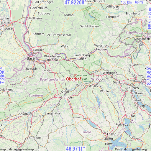
Oberhof GPS coordinates[2]
47° 26' 55.464" North, 8° 0' 9.828" East
| Map corner | latitude | longitude |
|---|---|---|
| Upper-left | 47.92208°, | 7.2996° |
| Center: | 47.44874°, | 8.00273° |
| Lower-right: | 46.9711°, | 8.70585° |
| Map W x H: | 105.7×105.7 km | = 65.7×65.7mi |
| max Lat: | 47.76737° ⇑17.8% North |
| Oberhof: | 47.44874° |
| min Lat: | ⇓82.2% South 45.83203° |
| min Long | Oberhof | max Long |
| 5.97153° | 8.00273° | 10.44624° |
| W 39.6%⇐ | ⇒60.4% E |
Elevation
Elevation of Oberhof is 526 m = 1726 ft, and this is 32.2 m = 106 ft below average elevation for this country.
| Max E: |
1845 m = 6053 ft | 38.8% |
| Avg. | 558.2 m = 1831 ft | |
| Oberhof | 526 m = 1726 ft | |
Min E: |
197 m = 646 ft | 61.2% |
See also: Switzerland elevation on elevation.city.
Geographical zone
Oberhof is located in North temperate zone (between Tropic of Cancer and the Arctic Circle). Distance of this North polar circle is 2125.4 km =1320.7 mi to North.| Distance of | km | miles | from Oberhof |
|---|---|---|---|
| North Pole | 4731.3 | 2939.9 | to North |
| Arctic Circle | 2125.4 | 1320.7 | to North |
| Tropic Cancer | 2669.9 | 1659 | to South |
| Equator | 5275.8 | 3278.2 | to South |


Nearby cities:
15 places around Oberhof: (largest is in red/bold)
• Aarau
7 km =4.3 mi,  153°
153°
• Biberstein
7.2 km =4.5 mi,  120°
120°
• Bözen
8.1 km =5 mi,  49°
49°
• Densbüren
3.8 km =2.4 mi,  83°
83°
• Erlinsbach
5.7 km =3.5 mi,  176°
176°
• Frick
7.2 km =4.5 mi,  13°
13°
• Gipf-Oberfrick
5.6 km =3.5 mi,  1°
1°
• Hornussen
7.3 km =4.5 mi,  38°
38°
• Küttigen
5.2 km =3.2 mi,  136°
136°
• Rohr
5.7 km =3.5 mi,  220°
220°
• Thalheim
7.5 km =4.7 mi,  101°
101°
• Wegenstetten
7.7 km =4.8 mi,  315°
315°
• Wittnau
4.2 km =2.6 mi,  330°
330°
• Wölflinswil
1.4 km =0.9 mi,  346°
346°
• Zeihen
6.9 km =4.3 mi,  63°
63°
Sources, notices
• [Note1] Compared only with cities in Switzerland existing in our database
• [Src1] Map data: © OpenStreetMap contributors (CC-BY-SA)
• [Src2] Other city data from geonames.org with taken over terms of usage.
• [Src3] Geographical zone / Annual Mean Temperature by Robert A. Rohde @ Wikipedia
