Rupperswil geodata
Rupperswil (Aargau) is a populated place; located in Switzerland in Europe/Zurich (GMT+2) time zone. With population of 4,137 people, there are 421 cities with bigger population in this country. Compared to other cities in Switzerland, 74% of cities are located further ↓South; 57.2% of cities are located further →East and 93.8% of cities have higher elevation than Rupperswil. Note1


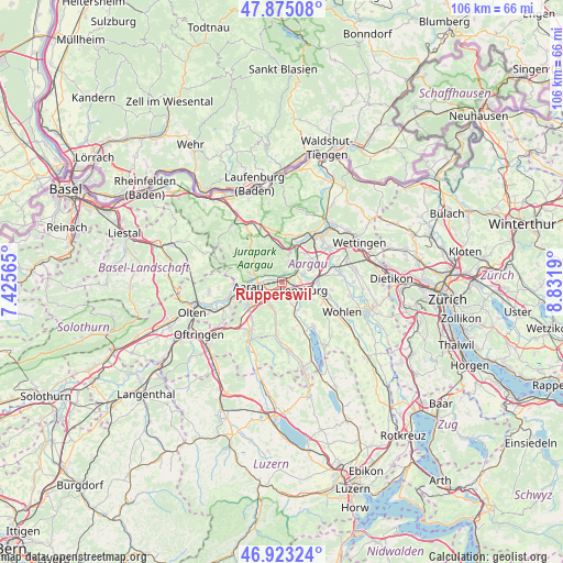
Rupperswil GPS coordinates[2]
47° 24' 4.716" North, 8° 7' 43.572" East
| Map corner | latitude | longitude |
|---|---|---|
| Upper-left | 47.87508°, | 7.42565° |
| Center: | 47.40131°, | 8.12877° |
| Lower-right: | 46.92324°, | 8.8319° |
| Map W x H: | 105.8×105.8 km | = 65.7×65.7mi |
| max Lat: | 47.76737° ⇑26% North |
| Rupperswil: | 47.40131° |
| min Lat: | ⇓74% South 45.83203° |
| min Long | Rupperswil | max Long |
| 5.97153° | 8.12877° | 10.44624° |
| W 42.8%⇐ | ⇒57.2% E |
Elevation
Elevation of Rupperswil is 374 m = 1227 ft, and this is 184.2 m = 604 ft below average elevation for this country.
| Max E: |
1845 m = 6053 ft | 93.8% |
| Avg. | 558.2 m = 1831 ft | |
| Rupperswil | 374 m = 1227 ft | |
Min E: |
197 m = 646 ft | 6.2% |
See also: Switzerland elevation on elevation.city.
Geographical zone
Rupperswil is located in North temperate zone (between Tropic of Cancer and the Arctic Circle). Distance of this North polar circle is 2130.6 km =1323.9 mi to North.| Distance of | km | miles | from Rupperswil |
|---|---|---|---|
| North Pole | 4736.5 | 2943.1 | to North |
| Arctic Circle | 2130.6 | 1323.9 | to North |
| Tropic Cancer | 2664.6 | 1655.7 | to South |
| Equator | 5270.5 | 3274.9 | to South |


Nearby cities:
15 places around Rupperswil: (largest is in red/bold)
• Biberstein
3.7 km =2.3 mi,  297°
297°
• Buchs
3.6 km =2.2 mi,  256°
256°
• Gränichen
5.1 km =3.2 mi,  203°
203°
• Küttigen
6.1 km =3.8 mi,  284°
284°
• Lenzburg
3.8 km =2.4 mi,  112°
112°
• Niederlenz
3.6 km =2.2 mi,  90°
90°
• Othmarsingen
6.4 km =4 mi, 90°
• Schafisheim
2.9 km =1.8 mi,  159°
159°
• Schinznach Bad
6.2 km =3.9 mi,  28°
28°
• Schinznach Dorf
5.1 km =3.2 mi,  10°
10°
• Seon
6.3 km =3.9 mi, 157°
• Staufen
3.6 km =2.2 mi,  126°
126°
• Suhr
4.9 km =3 mi,  228°
228°
• Thalheim
4.3 km =2.7 mi,  330°
330°
• Veltheim
4.3 km =2.7 mi,  18°
18°
Sources, notices
• [Note1] Compared only with cities in Switzerland existing in our database
• [Src1] Map data: © OpenStreetMap contributors (CC-BY-SA)
• [Src2] Other city data from geonames.org with taken over terms of usage.
• [Src3] Geographical zone / Annual Mean Temperature by Robert A. Rohde @ Wikipedia
